My journey today ventures up the the Ebbw Fawr valley following NCN Route 466 as it snakes its way from Aberbeeg through the site of the former Marine Collery, the village of Cwm, and finally to the town of Ebbw Vale.

Overview: Ebbw Fawr Valley
Date: 26 April 2022
Distance: 41.2 miles / 66.30 kilometres
Elevation: + 2341 / - 2345 ft
Duration: 7 hours, 20 mins.
Distance: 41.2 miles / 66.30 kilometres
Elevation: + 2341 / - 2345 ft
Duration: 7 hours, 20 mins.
North of Aberbeeg, the Ebbw River is is divided into two branches; The Ebbw Fawr and the Ebbw Fach (big and little Ebbw, respectively). Once the two rivers merge at Aberbeeg, the Ebbw River then flows another 13 miles south to Newport where it finally empties into the Severn Estuary.
My ride today heads north along NCN Route 466 from Aberbeeg up the Ebbw Fawr valley. I'll pass through the site of the former Marine Collery, the village of Cwm, Festival Park, and finally the town of Ebbw Vale itself.
NCN Route 466 is not a widely used route due to the fact that it's somewhat awkward to reach and too, the valley itself has only three small villages; Cwm, Victoria, Waun-Lwyd and then the town of Ebbw Vale itself. Some might call this valley sleepy, whilst others might call it sad. And to be fair, it's a combination of both. And just as with all the valleys in South East Wales, it suffers from the misfortune of a lack of industry and struggles with revitalization.
After passing through Ebbw Vale, my report ends. However, my ride continues as I turn west along the Heads of the Valley following NCN Route 46 for just a short distance before joining NCN Route 467 and returning south down the Sirhowy Valley back to our home in Oakdale.
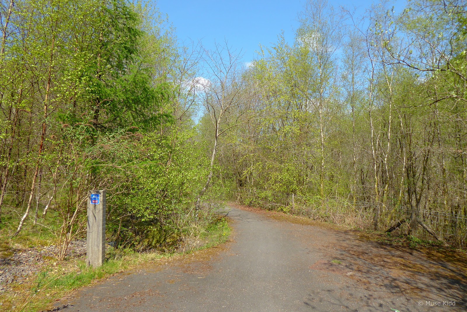
Aberbeeg to Cwm
Back in 2015, when I last cycled this section of NCN Route 466, it was not in good shape. The entance was at an odd road junction and awkward to reach, whilst the beginning section was a heavily used logging road full of ruts and mud. It was barely passable on a mountain bike.
However, a new bridge has been built across the Ebbw River improving access to the next section of the route and I was curious to see what else, if anything, had been modified. It looks great too!
However, a new bridge has been built across the Ebbw River improving access to the next section of the route and I was curious to see what else, if anything, had been modified. It looks great too!

Some folks at Sustrans told me that this new bridge crossing the Ebbw River cost £750k and while that seems wildly expensive, this simple addition removes a series of very awkward turns along a couple of busy roads and simplifies the route significantly.


On the bridge looking north where you can see the Ebbw Fach emptying in the Ebbw Fawr (above). Then looking south at the the two rivers merged into one; now it's just the Ebbw River (below).
Note: If you wish to explore the Ebbw Fach Valley, NCN Route 465 branches off from here in Aberbeeg. You can view the details of this fabulous cycle path in my Route to Ride; Cordell Country.


Once on the other side of the bridge, it's just a short connection to where the route crosses the road. Unfortuantely, the route begins up a slight incline on a surface that's partially tarmacked and mixed with loose gravel. It's not a good combination for a road bike.


However, it's just a short climb before the road begins to smoothen and level out as you reach the entrance to Graig Fawr Forest.


And once inside the forest, the road is greatly improved. This section was once very rutted and muddy (as I mentioned earlier), but now it has been smoothed and fine gravel has been laid. It's wonderful cycling.


The new signage is good to see as well. Sometimes whilst out on these old logging roads it can be somewhat unclear which path to follow.


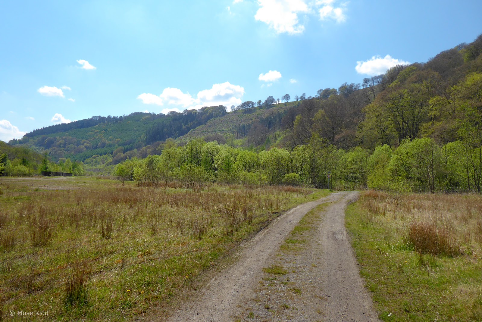
Soon after the junction, the path begins to climb slowly and the trees diminish. They did quite a bit of logging through here and now you can see up and across the valley. It's lovely.


Roughly two miles up the path, NCN Route 466 makes a surprising exit from the logging road and turns into the woods as it then begins heading down the side of the valley.


However, not far down the hill the path meets a gate, behind which is the most surprising and unusual adaptation for bicycles. First, we have a set of stairs (urgh!), but then they've added a small channel/ramp running parallel to the steps in which cyclists are to roll their bikes.


And it's not just a short set of stairs; they are quite long and surprisingly steep. The treads and risers are wide and high which make balancing your bicycle in the channel whilst descending quite a workout. I can imagine climbing them would be seriously difficult.
I don't really understand why they have chosen to build the path this way. This is not something small children are going to be able to navigate. It would have been much more convenient and practical to create a series of swithcbacks that weave up the hill at a moderate incline (much like what was built above Quakers Yard). Weirdness?!?
I don't really understand why they have chosen to build the path this way. This is not something small children are going to be able to navigate. It would have been much more convenient and practical to create a series of swithcbacks that weave up the hill at a moderate incline (much like what was built above Quakers Yard). Weirdness?!?


Once at the bottom, the path resumes it's previous character of smooth, fine gravel across a mostly flat surface. (I have to laugh and wonder if that bench has been provided for us to recover from the descent?)


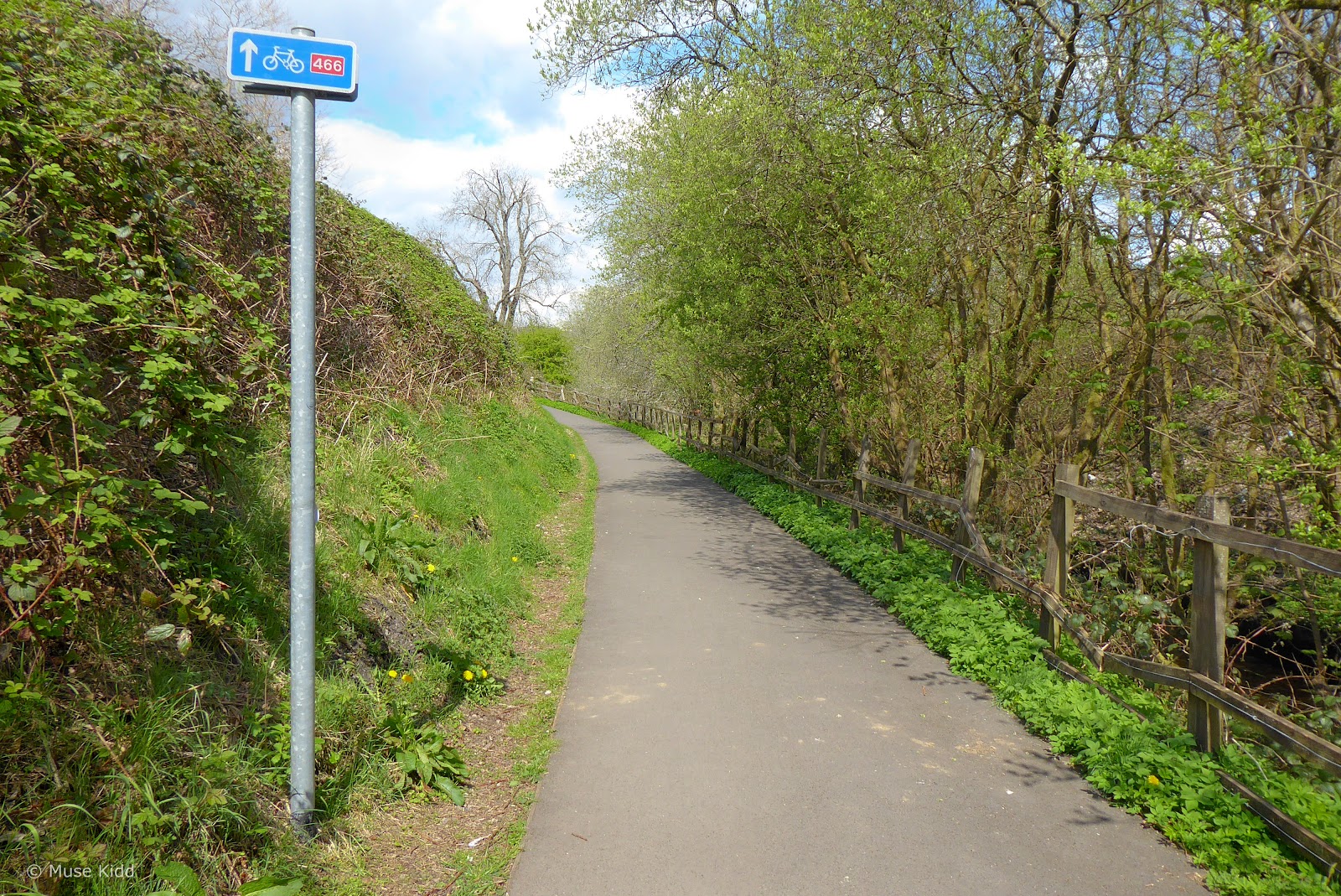
Though not at the bottom of the valley, the path does get closer to the Ebbw Fawr River as the path continues easily and well-signed.
You'll see that there are several smaller paths which veer off the main route leading down to the riverside. It's worthwhile to explore a bit.
You'll see that there are several smaller paths which veer off the main route leading down to the riverside. It's worthwhile to explore a bit.

Then surprisingly, the route becomes briefly tarmacked at a bridge crossing. This one looks fairly new and from the look of it, I would imagine it's designed to support service vehicles?

Looking up the river I noticed a dark spot along the left bank. So I had to turn around and investigate this closer!

Off to the left of the bridge a small path leads to Graig Fawr Colliery level. You can read more about this at the Cwm Community Projects website.
Note: Reading through the website, I saw that there is also a tall circular ventilation shaft just up the hill from here which I failed to spot. A good reason to return!

I went exploring online as I began writing this report and fell into a blackhole of fascinating reading (as ya do...). I found the photo below at the Industrial Wales website which gives a better perspective of both the level entrance and the ventilation tower.

photo courtesy of Industrial Gwent

Turning back around and crossing the bridge (a handsome one, I might add...) leads directly into the vast open valley that was once the home of Marine Colliery.

 |
| photo courtesy of Cwm Community Care |
 |
| photo courtesy of Cwm Community Care |
For more information, be sure to check out: Cwm Community Care, Cwm & Waunlwyd Community Archive, and Industrial Wales


I find it hard to imagine the colliery standing here, all of the buildings, the trains loaded with cars carrying "black gold", all the dirt and noise, the cacophony of men and boys working, laughing ... it's so very desolate now. Quiet and peaceful.
So I wander on, lucky boy that I am... never having had to work underground, never having to work hard at all, in comparison.

I do appreciate information boards. They are so helpful to understand the history of an area. And Wales does an excellent job of posting them about the many various sites.
Note: I read the board but failed to go visit the steam pumping engine, which is pointed out under the "Fast Facts" section on the board. Urgh! Another reason to return...


Then the path leaves the protection of the woods and enters the roadway as I turn to enter the village of Cwm. Across the road is a park with a statue of a miner who looks to be just a young boy, commemorating the lives lost in 1927 colliery disaster. The park is small and well-maintained and the simplicity is a touching tribute.


Don't get me wrong, I think Sustrans has been doing a great job with updating the signage for the NCN Routes throughout the valleys, but this one needs readdressing.


And to be perfectly honest, there is so little traffic in the village, I cannot see why we're directed behind these building and down this uninteresting alley.


With a quick peek over the rails I can see that the Ebbw Fawr isn't so fawr up here after all!

The route then begins zig-zgging though the empty streets of a small neighbourhood. There's not a soul to be seen. It's eerily quiet.


A lifeless little playground seems to sum-up Cwm.


At the edge of the village I cycle past the playing fields as I begin to make my way further north toward the town of Ebbw Vale. The grass is mowed and the pavement is clear of rubish, but where are the people?


The path then winds slowly up to the next interesting destination; Ebbw Vale Festival Park.

Ebbw Vale & Festival Park.
At the top of the hill, the path turns abruptly into lush wooded garden with a small lake. This is the beginning of Ebbw Vale Festival Park.
It is a stunning change. To go from such a sad area of deprevation into this fabulous garden is mildly shocking. It is lovely and serene.
It is a stunning change. To go from such a sad area of deprevation into this fabulous garden is mildly shocking. It is lovely and serene.

The sign for NCN Route 466 directs you to turn right onto the road, but if you turn left you can enter the park itself where you will soon discover several small paths leading into the gardens. It is well worth your time to explore a bit further.


There is a small path that circles around the back of the lake now used by a handful of anglers taking an advantage of the peace and quiet.. It is a must ride. Take your time, get off your bike and walk a bit.


You'll be naturally drawn to the center of the gardens with its unusual and charming pagoda. Unfortunately, it too is another reminder of the economic problems faced in the Valleys. What must have been a wonderful waterfront cafe — now sits empty and unused.

 |
| photo credit: Chris Allen / National Garden Festival, Ebbw Vale |
 |
| photo credit: Chris Allen / National Garden Festival, Ebbw Vale |

To see this park and to look back at how they tried to revive the community 30 years ago... and failed, it's just sad. Everyone agrees that its beautiful here, but without jobs, all the money invested in well-designed parks and highly-executed events can't support a community in the long-term. The Valleys needs jobs.

Moving on, I turned around 180° away from the lake to discover these very unusual scuptures.


Now I like art, but these pieces seem grotesque in their location. In an area suffering from economic blight, I see no irony in objects which clearly evoke images of death. I like them as sculptures. (Yes, they are creepy, but in a cool Tim Burton aesthetic...) Yet, I'm left wondering; "why here?"

Turning around, I found myself back at the entrance to the park where I re-joined NCN Route 466 and proceeded along the road. As you can see, the area outside the gardens has now been developed into a large housing estate.


The route zig-zags along quiet neighbourhood streets for just a short distance. I cannot help but compare the housing here with those found just a mile or so back in Cwm. These homes are much more gentrified and appear in-line with an American style. They're not terribly interesting, but they are well-kept.

Then the route turns back onto a shared-use path which follows a new road heading across the valley floor where the once mighty Ebbw Vale Steelworks once stood.

It is eerily quiet.


The wind blows across an empty valley. A footpath follows along a single line of railway tracks that weaves it's way to town. A new footbridge spans the scene. I cannot see a soul.

 |
| photo courtesy of Peter Benton / Geograph |
 |
| photo courtesy of Museum.Wales |
 |
| photo courtesy of Royal Commission on the Ancient and Historical Monuments of Wales |
 |
| photo courtesy of Museum.Wales |
 |
| photo by Joseph Murphy |
For more information, I highly recommend visiting: Ebbw Vale Works Museum, Museum.Wales - The Ebbw Vale Steel, Iron & Coal Company, Museum.Wales - The Ebbw Vale Steel, Iron & Coal Company - Photo Gallery, and The South Wales Argus - Ebbw Vale steelworks: The legacy...
Today, large swaths of empty land dominate the area where the factory once stood. At it's peak, Ebbw Vale Steelworks stretched for over two miles along this valley floor and despite looking at a large amount of online photos, it is still hard for me to visualize. As I write this simple report, I am in awe at both the scale of the steelworks and the significance of it's loss.


Ebbw Vale is struggling to recover from a period of extremely high unemployment — one of the highest rates in the United Kingdom. But this is not to suggest that all is lost. As the route continues, I pass through several new developments.
A £350 million regeneration project funded by the European Union and lead by Blaenau Gwent Council and the Welsh Government is re-developing the area for housing, retail and office space, wetlands, and a college campus. Additionally, a new hospital; Ysbyty Aneurin Bevan opened here 2010.
A £350 million regeneration project funded by the European Union and lead by Blaenau Gwent Council and the Welsh Government is re-developing the area for housing, retail and office space, wetlands, and a college campus. Additionally, a new hospital; Ysbyty Aneurin Bevan opened here 2010.

There is a new train station just behind the college and the old offices for the steelworks has been re-modeled into the Ebbw Vale Works Museum — which features a vast array of documents, photographs, films, and industrial artefacts and memorabilia collected over hundreds of years. (Note: a source used in this report which deserves a visit!)


The route skirts just below the High Street of town and passes through the rugby and football club keeping close to the Ebbw River again.


The mighty Ebbw River looks little more than a creek.


After climbing just over a mile through a quiet, but non-descript neighbourhood, NCN Route 466 crosses over the A4047 at a rather busy roundabout and ends in just a very short distance at the junction with NCN route 46 at Rassau Road.

This concludes my documentation of NCN Route 466. I now join NCN Route 46, turn west and begin making my way home.

The NCN Route 46 continues to climb for another mile through a housing estate on the outskirts of the small town of Rassau before passing under the old Heads of the Valley Road.
These gates seem rather excessive, but I guess they've a problem with motorcycles cutting through? However, after two miles of steady climbing, it does feel good to get off the bike and walk a bit.
These gates seem rather excessive, but I guess they've a problem with motorcycles cutting through? However, after two miles of steady climbing, it does feel good to get off the bike and walk a bit.

NCN Route 46 then becomes traffic-free once again as it pulls alongside the new Heads of the Valley Road. Much of this section is very new thanks to the Active Travel Act of 2013, which mandates walking and cycling paths to be a part of all new road construction.
Note: Documentation can be found here: Active Travel Action Plan 2016 and Getting Wales Back on Track. For information on the 2021 transport policy for Wales, see: Llwybr Newydd.


This section is exceptional; the path is wide, smooth, and flat. The route then passes over the new Heads of the Valley Road.


I made a short detour off the path to cycle down below this viaduct. That's NCN Route 46 passing over the top! The route looks spectacular from down here. This is a wonderful example of Sustrans' great work with re-purpoosing disused rail lines.


The irony is not lost on me to discover this old mail coach sitting in a car park. Even in disrepair (and vandelized), it's beautiful.


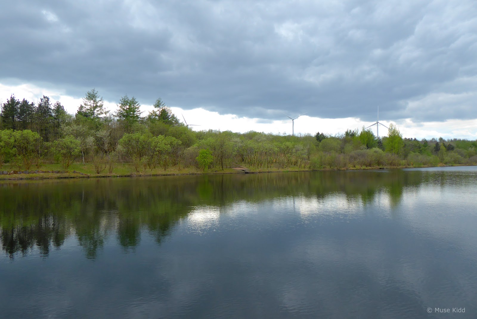
The route then leads into Parc Bryn Bach. This lovely 340 acre park has recently been benefitted from extensive refurbishment and offers a wide range of outdoor activities.
There's a lovely cycle path which circles the 36 acre lake, plus the visitor centre has a cafe serving hot food and drinks most every day of the week.
There's a lovely cycle path which circles the 36 acre lake, plus the visitor centre has a cafe serving hot food and drinks most every day of the week.

Now the day is getting late and clouds are rolling in. It's time for me to head home. NCN Route 467 joins NCN Route 46 here, so I'll take a left and begin my ride south down Sirhowy Valley and to home.

Thankfully, it's pretty much all down hill from here.
Summary - Ebbw Fawr Valley
As I put this report together I realised that there are several areas I wish to explore further. There's a nature reserve in Cwm that I missed, as well as the vent shaft below the Marine Colliery and the pump engine by the roundabout.
I have no idea why I skipped visiting the Ebbw Vale Works Museum and I should make a point of cycling down the High Streets fo both Cwm and Ebbw Vale.
I have no idea why I skipped visiting the Ebbw Vale Works Museum and I should make a point of cycling down the High Streets fo both Cwm and Ebbw Vale.
It was a short ride, but I was quite surprised at how much there is to see (and document!) and it highlights that I need to spend more time working on the areas which are close to home.
I hope you enjoyed my report and thanks for reading!
Seeya down the road... Cheers! - cm
I hope you enjoyed my report and thanks for reading!
Seeya down the road... Cheers! - cm
