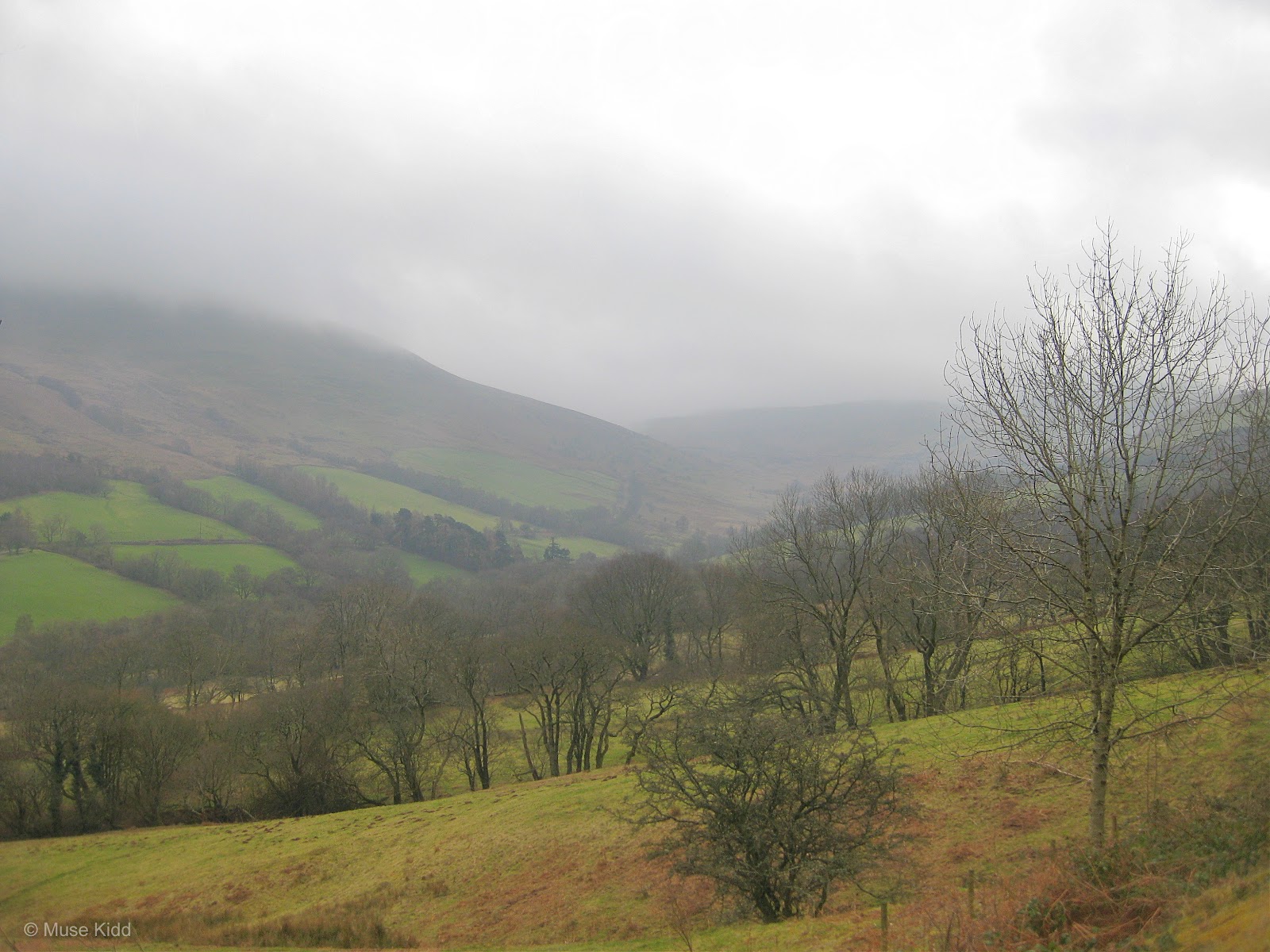
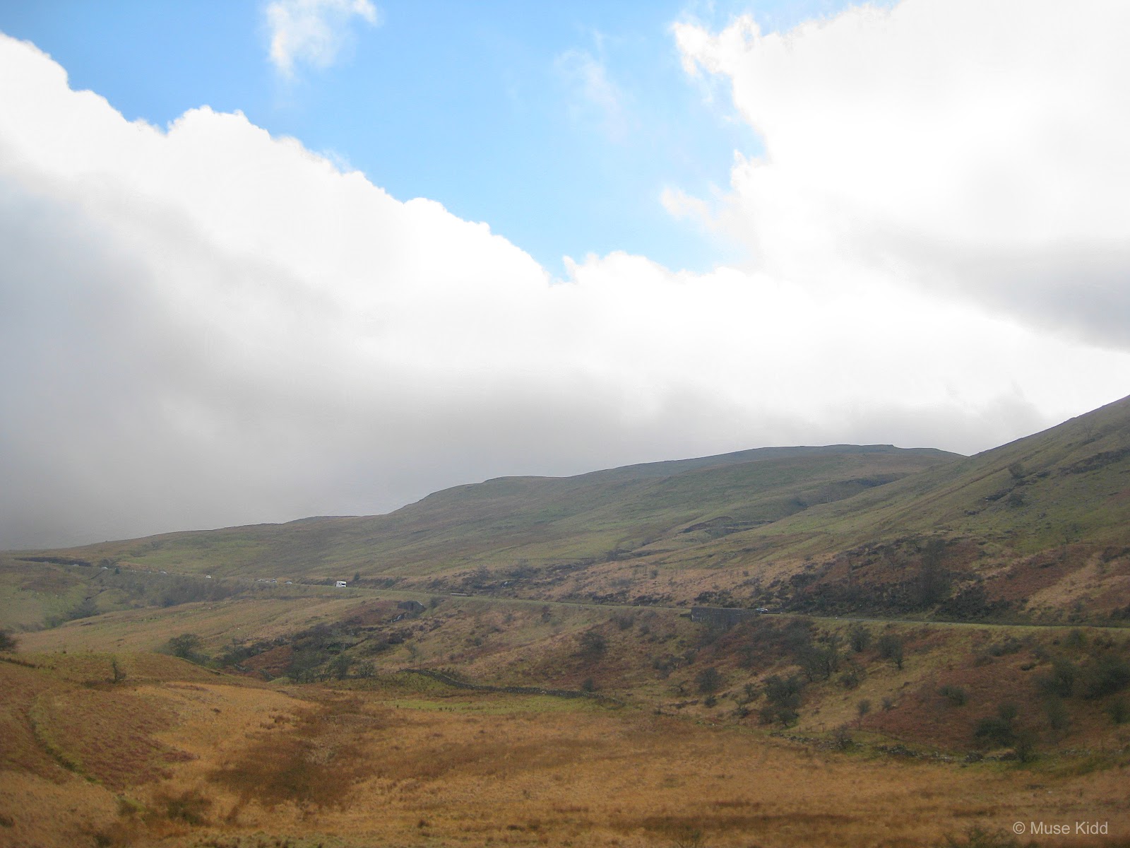
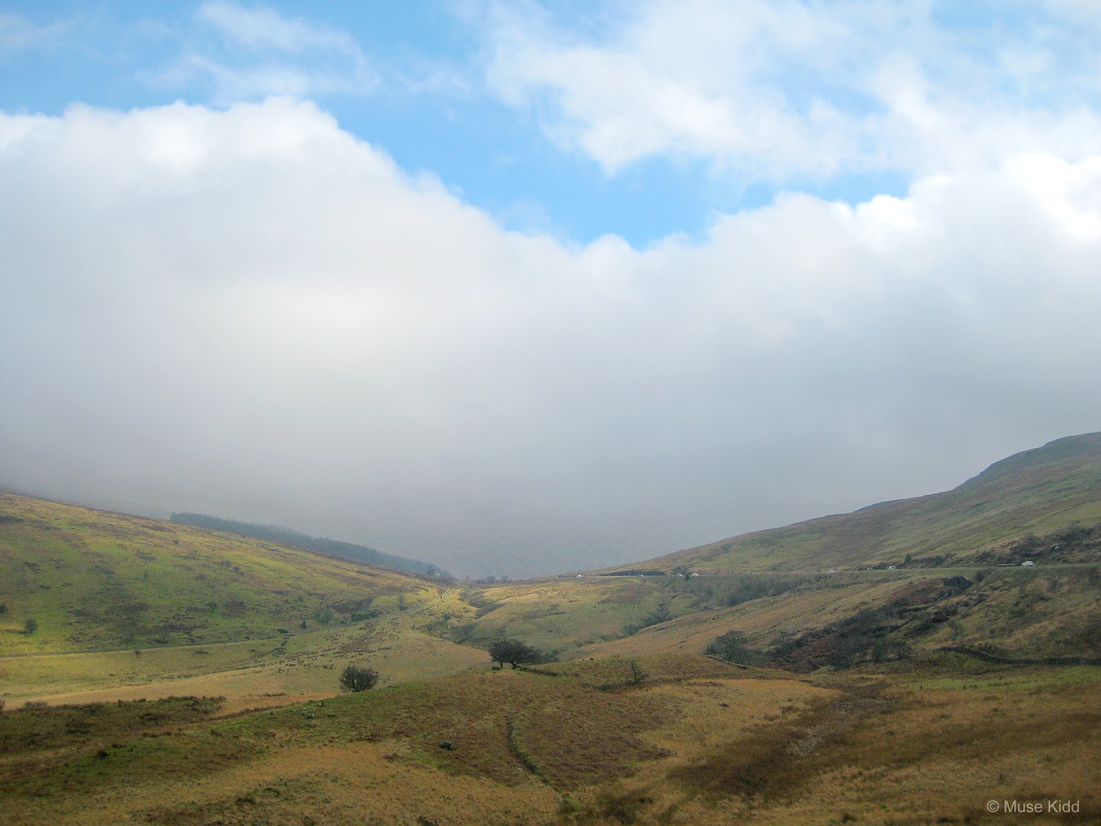
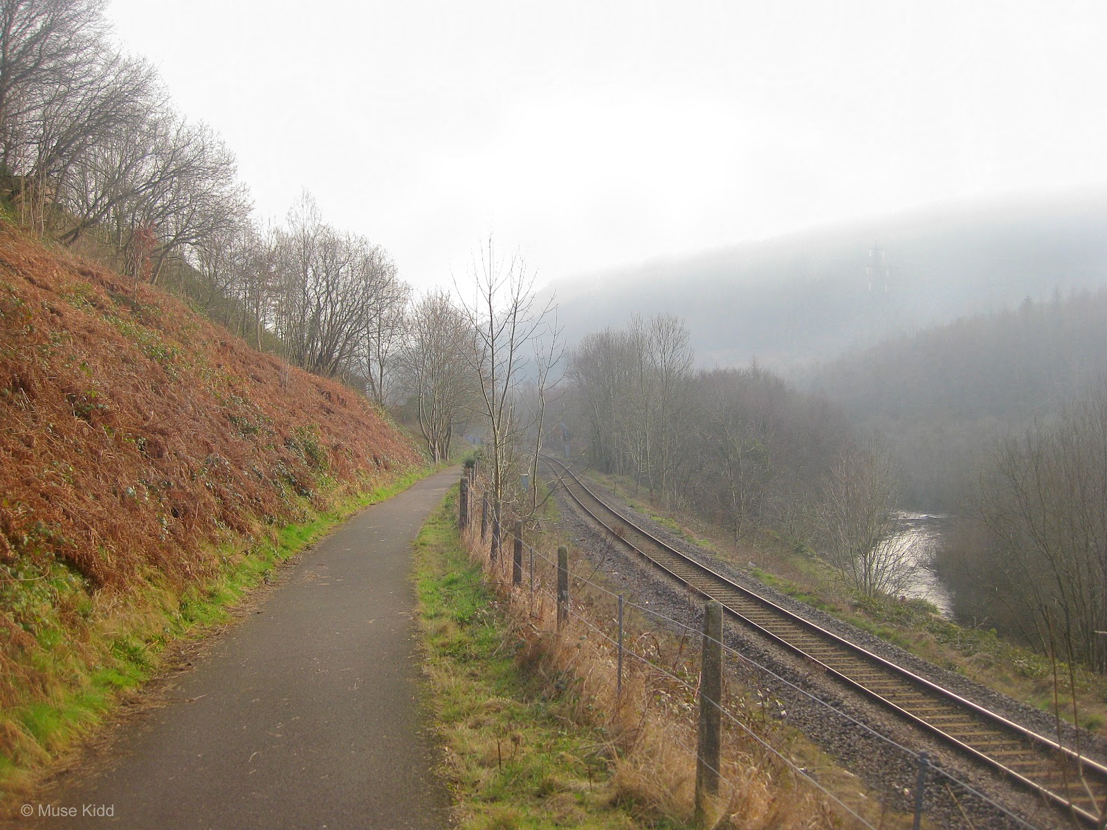
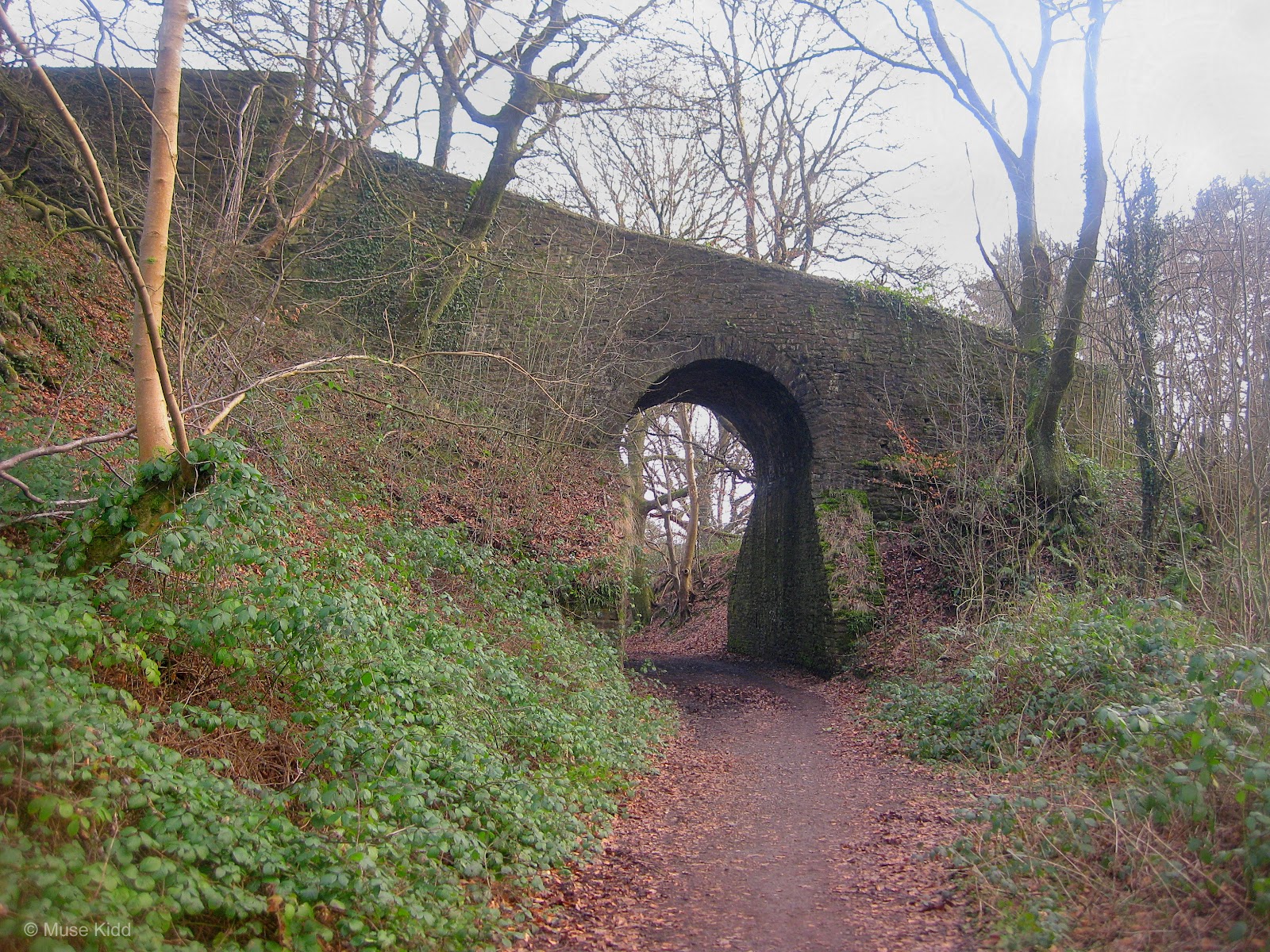
I left just before 8 am in heavy fog and mist. The day did not look promising, but I had my mind set on having an adventure and one thing you can count on in Wales; is that the weather is damn changable.
Overview: Brecon & Beyond
Date: February 18, 2017
Distance: 79.0 miles / 127.14 kilometres
Elevation: + 5342 / - 5342 ft
Duration: 9 hours, 52 mins.
Distance: 79.0 miles / 127.14 kilometres
Elevation: + 5342 / - 5342 ft
Duration: 9 hours, 52 mins.
Okay, it's February. What should I expect, right? I was tired of sitting inside, looking out the window and thinking about riding. I was bound and determined to ride my bike regardless of the conditions.
The first half of the route follows mostly traffic-free cycle paths of the National Cycle Network (NCN Route 467 & NCN Route 46) up to through the Heads of the Valley. However, the route moves onto quiet roads for several sections as it passes into the Brecon Beacons with the last short ride moving onto the Taff Trail (NCN Route 8) as it follows the Monmouthsire & Brecon Canal into Brecon itself.
Leaving out of Brecon, I cycled on the very busy A470 (caustiously) up and over the mountain pass below Pen-y-Fan Mountain. Once in Merthyr Tydfil, I again joined the Taff Trail down to Quakers Yard. I then closed my loop by following NCN Route 47 across the valleys back to Hengoed and Blackwood.
I'm so glad too that I pushed my luck, for this ride turned out to be a great one! Join me as I recount my first big ride of the year on an adventure into the heart of the Brecon Beacons National Park.
2022 UPDATE: This is an updated version of a previously posted Ride Report. As part of my ongoing redesign of this website, each feature from "Rides to Remember" will be re-formatted to accomodate the new larger page layout. All of the photographs have been re-edited and when needed, the text has been re-edited for context and clarity.
PART ONE | Oakdale to Brecon | 38.6 miles
A steady climb to the Heads of the Valley along NCN Route 467 & 46, into the Brecon Beacons National Park, around Pontsticill Resevoir, and then down into the town of Brecon.
PART TWO | Brecon to Merthyr Tydfil | 17.2 miles
Continuing the climb through Brecon up toward Pen-y-Fan Mountain along the very busy A470, then down the other side into Merthyr Tydfil.
PART THREE | Merthyr Tydfil to Oakdale | 23.2 miles
Joining the traffic-free Taff Trail (NCN Route 8) in Merthyr Tydfil down to Quakers Yard. Then across the valleys on NCN Route 47 back to Hengoed, Blackwood, and home.
SUMMARY | A Look Back and Future Plans
Reflecting back on the ride; my thoughts on returning and outlining a specific route, as well as a Ride Report Card for the day.
PART ONE
ON ROAD |
+ | NCN | 467 | 46 | 8 |  |
Oakdale to Brecon |
Distance: 38.6 miles / 62.12 kilometres
Elevation: +2615 ft / -2949 ft
Elevation: +2615 ft / -2949 ft
My ride started from home on NCN Route 467 up to Tredegar. I then joined NCN Route 46 across to Dowlais where I got on the Taff Trail (NCN Route 8) to Brecon. It's a very straight-forward ride with a fair amount on traffic-free sections.
| ▲ Back to |
What luck! I arrived in Pant just as they were getting the engine prepped at The Brecon Mountain Railway. I've cycled just under 20 miles at this point, so it's the perfect time to take a break and watch.
I stood around for about 30 minutes drinking coffee, eating some snacks, and just watching the men warm up the engine. Who doesn't love old steam trains? It looks to be a moody day for taking tourists up and down the mountainside.
I continue north and the fog gets thicker as I follow the Taff Trail winding its way along an old forestry road slowly taking me high above Pontsticill Reservoir.
Looking over the mountain edge, I cannot see the reservoir below me. I am in the clouds.
As I enter the pavement again, I look back at the forestry road... it's a fabulous section to cycle over the mountain pass and I was very fortunate to see it as I did today.
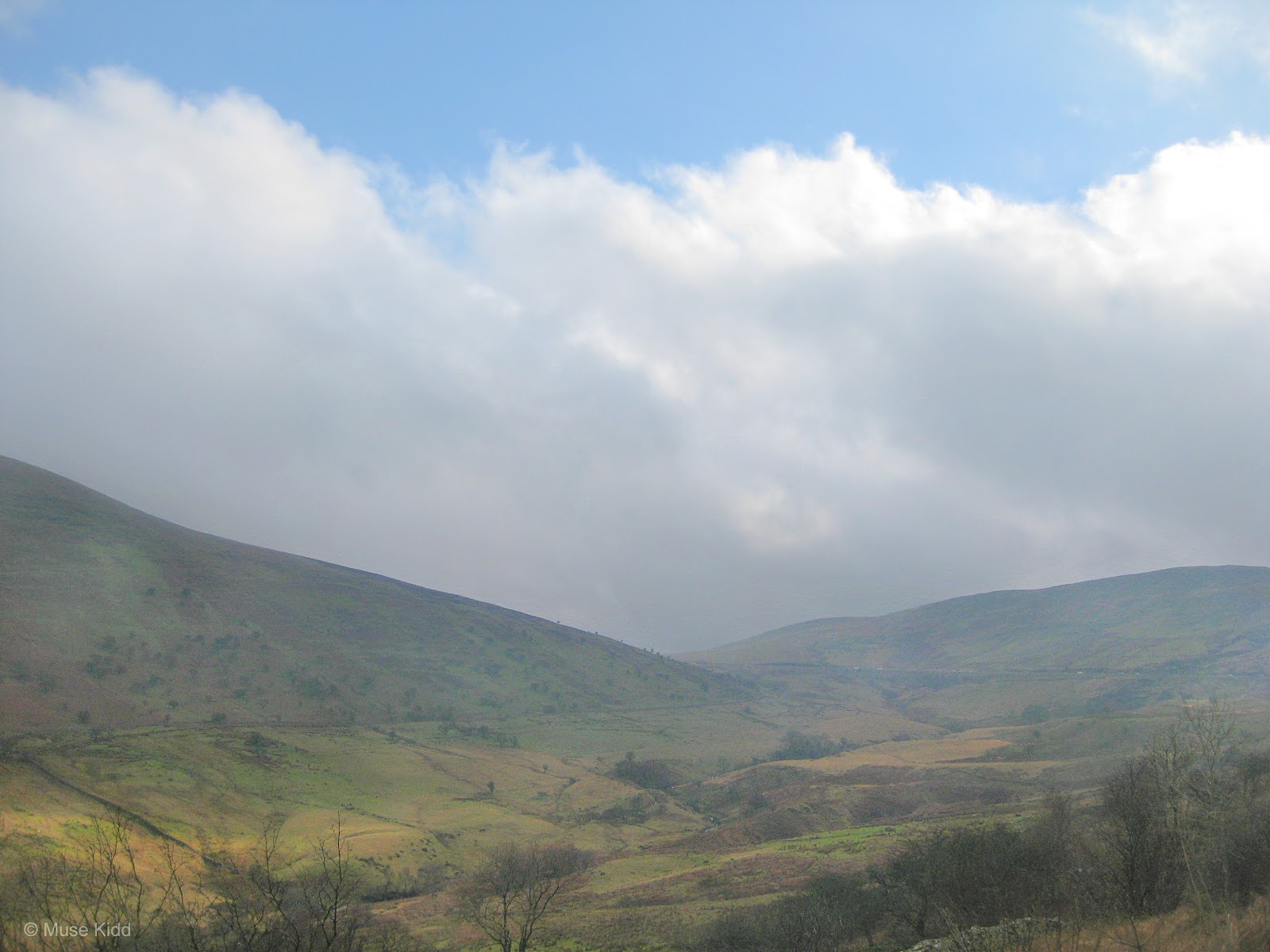
From here, I raced down the northern side of the mountain on the main road that passes the Talibont Reservoir and Aber Village. It's a breath-taking 20% decent for nearly a mile where you are thrust into the adjoining valley like a rocket. I burst through the clouds and mist into stunning sunshine. It's hard to believe it's the same day.
Crossing the River Usk on the B4558... looking south (above) toward the aquaduct that carries the M&B Canal over the River Usk and then looking north (below).
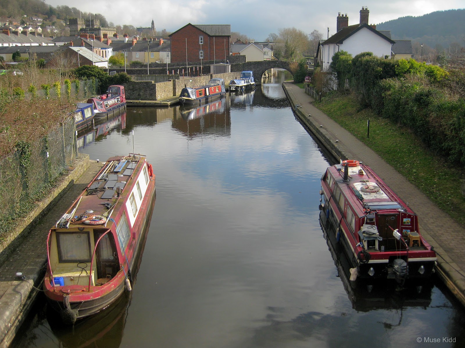
It's then a gorgeous ride into Brecon. The route is completely traffic-free for the last couple of miles as you follow along side the magnificent Monmouthshire & Brecon Canal.
Honestly, this part of the Taff Trail just needs to be cycled to fully appreciate. The Norman town of Brecon itself is worth spending a few days. Narrow streets place an emphasis on walking and beg to be explored in a lazy, rambling sort of way.
The town sits at the junction of the Rivers Usk and Honddu, whilst the River Tarell is also a few hundred metres from the town centre. To top it off, the Monmouthshire & Brecon Canal starts here as well, making this a town of old-world bridges, quaint architecture, and water. It is simply stunning.
I'm going to pause a moment here to show the route map again. I've cycled 40 miles to reach the outskirts of Brecon (approximately halfway for the day) and it's at this point that I'll begin heading southwest for roughly eight miles as I climb the high pass below Pen-y-Fan Mountain.
This is my big climb. The A40 can be extremely busy (especially on the weekends) and it's not a road for the faint of heart cyclist, but once out of town, it is quite wide with broad sweeping curves and good visability. Additionally, there are multiple spots along the way where you can safely pullover to admire the impressive views overlooking the valley.
PART TWO
ON ROAD |
Brecon - Merthyr Tydfil |
Distance: 17.2 miles / 27.68 kilometres
Elevation: +1338 ft / -1015 ft
Elevation: +1338 ft / -1015 ft
The climb to the top is quite amazing, actually. It's a dramatic change from the quiet traffic-free paths along the canal. I just find a groove and pedal, glancing over my shoulder on occassion to take in the views, and when I reach a pull-over, I just stop.
| ▲ Back to |
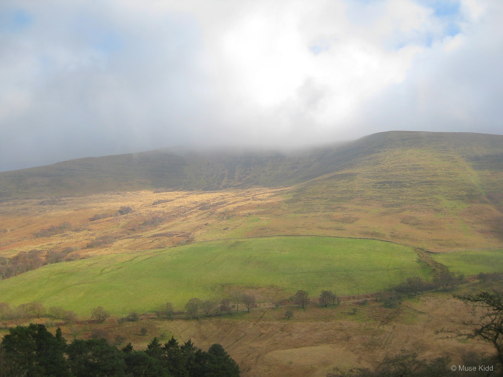
It's not just the climb that is breath-taking. This is the heart of the Brecon Beacons and pausing to take a few photos is a must.
As I climb, I move into the clouds and mist for the second time of the day.
Standing here looking at the base of Pen y Fan, the highest peak in south Wales, it is easy to lose one's sense of scale.
Once at the top, I can look back down at the town of Brecon far behind me and relish a spectacular view as well as the accomplishment of climbing 1,050 feet over 7.5 miles.
It was getting late in the afternoon by the time I finally crossed the mountain pass. It had taken me (including many stops) nearly two hours to make the climb.
PART THREE
ON ROAD |
+ | NCN | 8 | 477 | 47 |  |
Merthyr Tydfil - Oakdale |
Distance: 23.2 miles / 27.07 kilometres
Elevation: +1369 ft / -1353 ft
Elevation: +1369 ft / -1353 ft
Once on the other side of the mountain, it was a fast downhill race on the A470 into Merthyr. It's a rather uninspiring ride on a very busy road and I was just pedaling to get home by this point. There are several notable points of interest, but I didn't slow to take any photos.
30 minutes later when I pulled into Merthyr, I was exhausted. I rejoined the Taff Trail and made my way to Aberfan where then I crossed over to the opposite side of the valley and continued on the Trevethic Trail down to Quakers Yard.
30 minutes later when I pulled into Merthyr, I was exhausted. I rejoined the Taff Trail and made my way to Aberfan where then I crossed over to the opposite side of the valley and continued on the Trevethic Trail down to Quakers Yard.
| ▲ Back to |
I often prefer the Trevethic Trail over the Taff Trail coming down from Merthyr. It's much rougher in places, but avoids a nasty climb just south of Aberfan and an equally nasty set of stairs that descend under the A470 a couple of miles after that.
At Quakers Yard I joined NCN Route 47 for another 10 miles back home; not without lovely landscapes and interesting remnants of the industrial age, but this old man was tired to the bone and taking snaps was beyond my capability.
Summary: A Look Back and Future Plans
As I mentioned at the start; this is an update to my previous report of the same name. I re-edited the photos to fit the new design and touched up the text a bit, but the overall feature remains the same.
Whilst working on this update, I decided that I should re-ride this route, but in a clockwise direction. I also think I should ride a bit further west so that I include Hirwaun in the mix. The route will be quite a bit longer, but the ride up to the base of Pen-y-Fan will be milder and I can then include photos along the barren A4059 from Penderyn.
Look for my next report and excursion later this summer; "Back to Brecon" (working title).
I hope you enjoyed this little write-up and as always, thanks for spending your time with me & Bike Wales.
Cheers! - muse kidd
Look for my next report and excursion later this summer; "Back to Brecon" (working title).
I hope you enjoyed this little write-up and as always, thanks for spending your time with me & Bike Wales.
Cheers! - muse kidd

|
|
|||
| Ride Name: | Brecon & Beyond | ||
| Start Date: | Sat. Feb 28, 2017 | ||
| Starts in: | Oakdale, Wales, GB | ||
| Departed: | 7:55 AM | ||
| Distance: | 79.0 mi. / 127.4 km | ||
| Elevation: | + 5342 / - 5342 ft | ||
| Max Grade: | 9.8% | ||
| Duration: | 09:52 | ||
| Move Time: | 07:38 | ||
| Stop Time: | 02:13 | ||
| Max. Speed: | 33.1 mph | ||
| Avg. Speed: | 10.3 mph | ||
| Weather: | Fog, Clouds, & SUN! | ||
| Temp: | 8°c / 48°f | ||


