Southwest of Cardiff, about a mile outside the hamlet of St. Lythan's, stand two monumental neolithic burial chambers — each 1,000 years older than Stonehenge and the Great Pyramid at Giza, and each worthy a visit by bicycle.


- 2021 -
Overview: St. Lythans & Tinkinswood
Date: October 14, 2021
Distance: 78.6 miles / 126.49 kilometres
Elevation: + 4,099 / - 4,099 ft
Duration: 7 hours, 25 mins.
Distance: 78.6 miles / 126.49 kilometres
Elevation: + 4,099 / - 4,099 ft
Duration: 7 hours, 25 mins.
History has a different feel in the UK than the US. As an expat from the states, I am fascinated with the depth of British history and to be fair, places with historical significance are often the focus of my travels. I don't recall how I stumbled across these two burial chambers, but once I read about them; my mind was made up. I had to see them for myself.
Located in the Vale of Glamorgan, this is an area I am beginning to explore with more concentration. There are few NCN Routes, so the bulk of my efforts stem from researching Google maps and various Internet websites — my premise being; "I wonder what's out here?"
It was a late Autmn day with beautiful skies, brilliant sunshine, and surprisingly warm temperatures. I explored a propsed new section of NCN Route 4 between Llantrisant and Efail Isaf. At one point, I even saw the Queen!
Pontypridd and Efail Isaf
I left the house early and made my way down through Blackwood and Pontllanfraith to join the NCN Route 47 just above Maescymmer. It's a very common route for me to start a ride that deserves some attention. But as is often the case when I've got a specific destination in mind, I don't take many preliminary photos.
I followed NCN Route 47 across Parc Penalta to Quakers Yard where I merged onto NCN Route 8 (the Taff Trail). From there it was easy sailing down to Pontypridd and I had 18 miles behind me before 9:00am.
I followed NCN Route 47 across Parc Penalta to Quakers Yard where I merged onto NCN Route 8 (the Taff Trail). From there it was easy sailing down to Pontypridd and I had 18 miles behind me before 9:00am.

As I came into Ynysangharad War Memorial Park in Pontypridd, I spotted a lovely new pedestrian bridge. It seems only fitting for a town named after a bridge that I take some photos. (fyi; ponty means "bridge" in Welsh and Pont-y-pridd translates to "bridge by the earthen house".)
And yes, there is a very famous bridge aptly named "Old Bridge" that deserves some photographic attention. But that is for another day!
And yes, there is a very famous bridge aptly named "Old Bridge" that deserves some photographic attention. But that is for another day!


I zipped through sleepy Pontypridd before the town had hardly awoken and I made my way to the University of South Wales where I joined the proposed new route for NCN Route 4.

The first part of the so-called new NCN Route 4 follows along the old rail line which has a tall and lengthy retaining wall for most of the entire two miles to Tonteg. And I couldn't help myself with a gratuitous bike photo.
At Tonteg the path parallels the A473 for the next three miles. It's a wide and rolling path often populated with dog-walkers and joggers. You can also find some interesting details along the way, such as this old mine vent which has been cleverly repurposed into a way marker. (Don't think I'll make it to Fishguard today... much less Galway!)
At Tonteg the path parallels the A473 for the next three miles. It's a wide and rolling path often populated with dog-walkers and joggers. You can also find some interesting details along the way, such as this old mine vent which has been cleverly repurposed into a way marker. (Don't think I'll make it to Fishguard today... much less Galway!)


I left the cycle path at Efail Isaf (one word or two... you decide?) and began making my way south along the lovely Hoel Creigiau. The day was getting brighter and without a car in sight - the cycling was perfect.


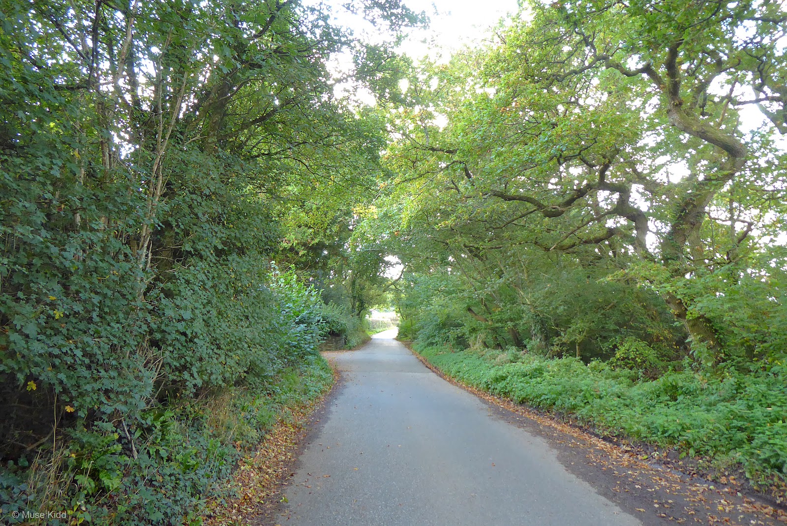
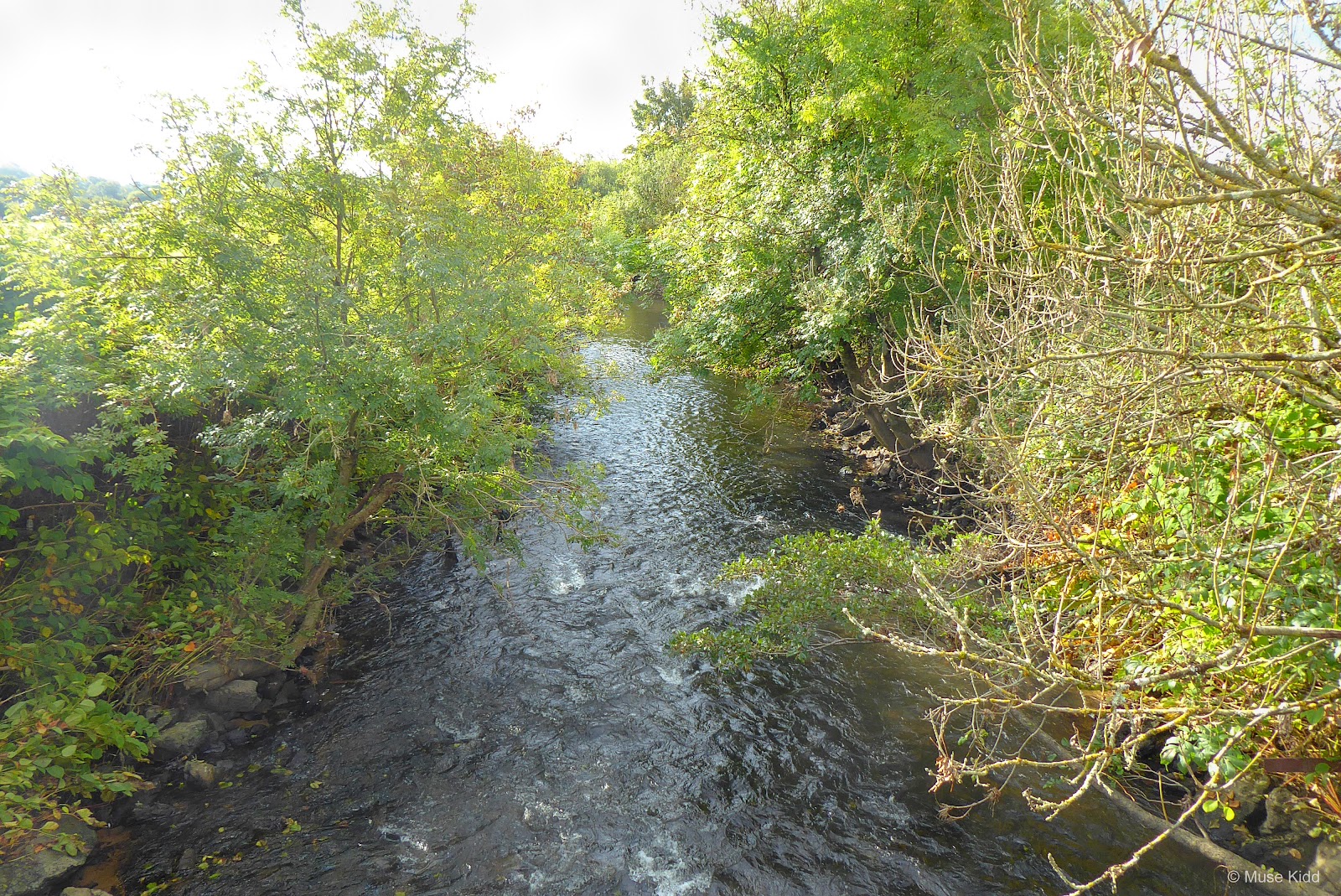
After passing through the village of Creigiau, the countryside became notably more rural... and surprisingly I passed over the Ely River. I had no idea it ran this far west?


I soon passed over the M4 and made my way to the hamlet of Clawdd-côch. I had cycled 30 miles at this point and was feeling pretty good; however, from here I began a series of steep climbs followed by equally steep decents (see the elevation profile in the map above).
It's interesting to note that most of these small roads out here don't have names. I looked for them in Google Maps as well as in Street View, but nada.
It's interesting to note that most of these small roads out here don't have names. I looked for them in Google Maps as well as in Street View, but nada.
 |
| Signs for practically anywhere ya'd like to go... but nothing about what road you're on? |
Now that I'm back and writing this report, I've discovered that I've lost a group of photos I took over the next few miles. Their disappearance is quite frustrating too, because after I had climbed the aply named Gwern-y-steeple "steep side"; the road leveled off and I had time to catch my breath as I approached the very busy A48. It was here, at the junction of the A48 and the A4226 that quite unknowingly, I saw the Queen.
At the time, I had no idea what I was witnessing, but the police had the roads blocked and were scrambling about like hornets. I casually crossed the A48 and attempted to proceed down the shared-use path which follows along the A4226. I absentmindedly assumed there must have been some sort of traffic accident further down the A48.
 However, as I rode away from the junction, I was soon chased down by a police officer on a motorcyle who drove up onto the cycle path and physically rammed me and my bike into the grass. Red-faced, with eyes bulging behind the steamy visor of his helmet, the officer began screaming; "STOP! STOP! STOP! YOU HAVE TO STOP!", as if I had robbed a bank.
Quite naturally, and clearly in shock at being accosted, I yelled back at the fat bastard; "What the hell are you doing?!?! Why do I have to stop? I'm on the cycle path!" To which the dude puffed up his big chest, leaned down into my face and looking directly into my eyes, replied slowly and menacingly; "It's none of your damn business. I say stop, you STOP!" Then he grabbed my arm and shook me rather violently, adding; "You'll wait here until I tell you you can go. Do you understand?"
So I sood there, while the gorilla gripped my arm, and we watched as a massive motorcade slowly passed. Trying to break the ice, I jokingly asked; "Has Harry or one of his malformed cousins come to town to play golf or some such nonsense?" To which the gorilla replied; "Shut-up."
After about five minutes; the hundreds of motocycles and police cars and black Range Rovers turned through the junction and were gone. The cop then looked to me and said; "You may carry on". Of course, I was still confused (and angry) as to why I had to stand alongside my bicycle on the cycle path while this ridiculous motorcade passed, so I asked again; "What the hell was all that about? Why did I have to stop?" To which the officer replied; "Shut-up faggot or I'll arrest you for civil disobedience".
And with that last clever retort, the shining example of proud Welsh police enforcement wrestled his massive motorcyle back onto the roadway and out of my life.
Now I'm not one to worry much with the police. Like everything else in the world, there are good and bad. But I was completely surprised that when I later recounted this incident to my wife, she informed me that the motorcade had in fact been the Queen. Her Majesty had come to Cardiff to open the Senedd.
So I wonder if the Queen saw me standing there, along side of the road, gripped by the police like a captured murderer, as I flapped my one free arm at the passing motorcade, grinning like an idiot — thinking I was just waving at Beatrice or Eugenie who had come to town for a bit o'wine & cheese? 🤪 🍷
I had tried to take some photos of the motorcade, but my police buddy wouldn't have any of it and I must have inadvertantly done something as I was putting my camera away ("Put it away or I'll take it away..." was the clever jingle I remember being told.).
I was a nervous wreck after my scooter pal drove off. I distinctly remember my hands shaking and I desperately need to pee. I rode down the path a ways and found a secluded spot where I could also check my bike. I had been struck rather harshly; my left brake lever was twisted inward at an unuasable angle and the front wheel was rubbing noticeably.
I was a nervous wreck after my scooter pal drove off. I distinctly remember my hands shaking and I desperately need to pee. I rode down the path a ways and found a secluded spot where I could also check my bike. I had been struck rather harshly; my left brake lever was twisted inward at an unuasable angle and the front wheel was rubbing noticeably.

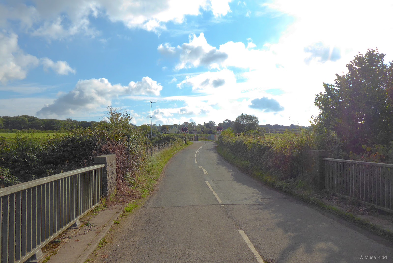
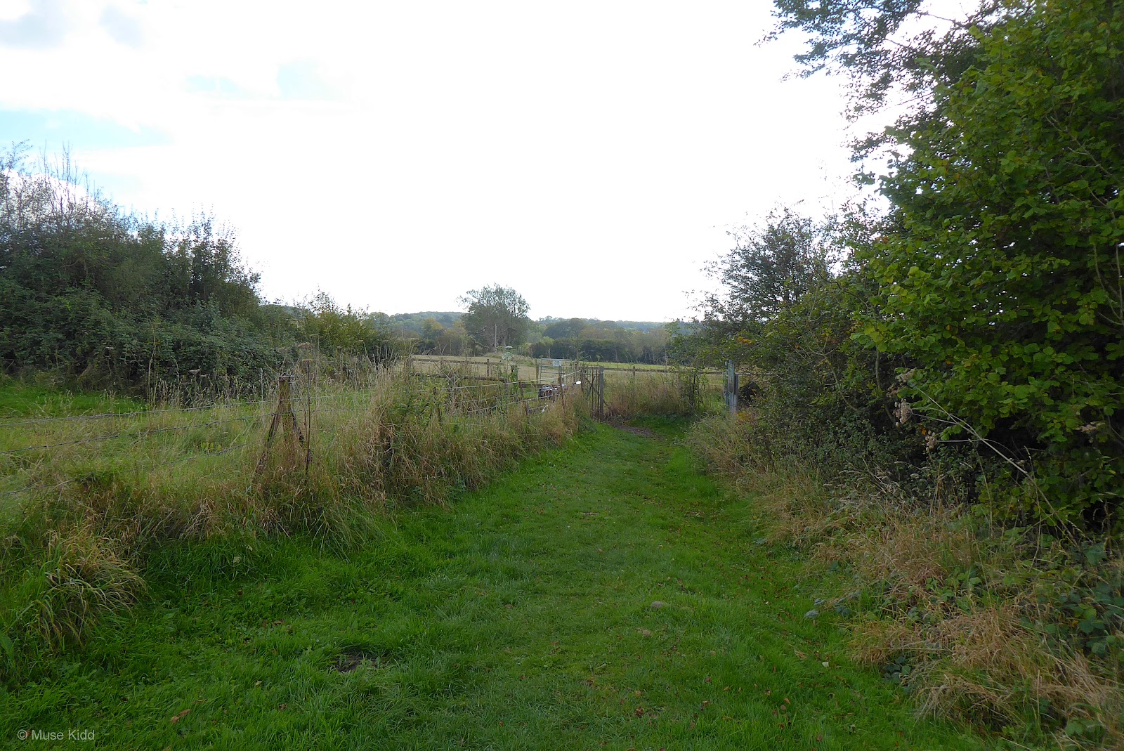
So, with all that drama behind me, the cycle path down the A4226 is fantastic! They've built a new shared-use path which is completely seperated from the main road. I hate that I've lost the photos, but I'll just have to go back because I wonder too, if the path has been improved all the way to Barry? (Spring project!)
Meanwhile, in just over three miles, I was at St. Lythans. I was relieved too. I needed to sit down and take a break.
Meanwhile, in just over three miles, I was at St. Lythans. I was relieved too. I needed to sit down and take a break.
St. Lythans
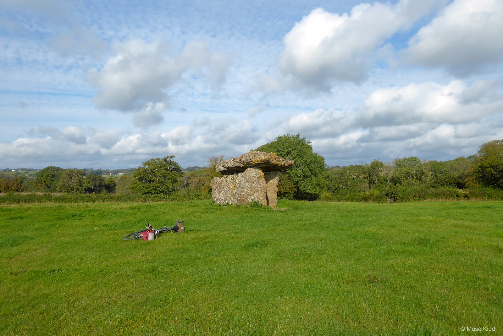
There's a non-descript sign with little more than a wide spot along the road for perhaps two cars to park. There's just a kissing gate with a small information board for the entrance — both covered in brambles. Then standing on it's own, at the top of a slight rise in the middle of a large pasture is the neolithic burial chamber of St. Lythans.


Without going into all the details, I'll give you this small bit to ponder;
"... They cleared the forests to establish pasture and to cultivate the land. They built the long barrow at St Lythans around 4,000 BC, which is about 1,500 years before either Stonehenge or The Egyptian Great Pyramid of Giza was completed."

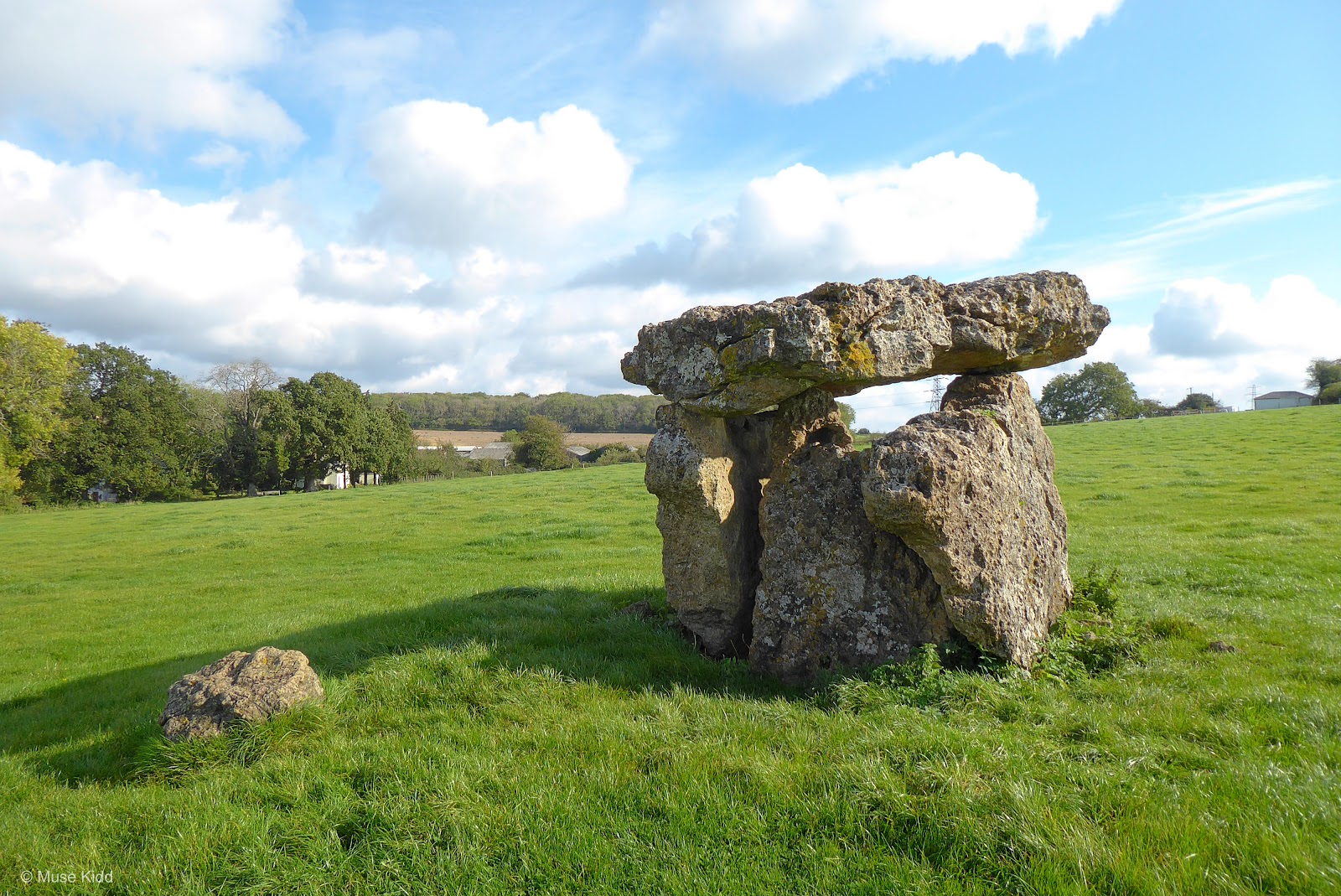
Let's think about that for a moment... because what we're looking at is 1,500 years older than Stonehenge. This burial chamber is older than the Pyramids at Giza. And that blows my mind. Read more at: St. Lythans burial chamber, Wikipedia


These massive stones were once buried underneath a large mound as an earthen and stone chamber with an entrance and forecourt. Then people gathered here and buried their dead. What were they thinking? And why?
To get an idea of what the mound might have resembled, check out this dolmen in Anglesey; Bryn Celli Ddu Burial Chamber.
To get an idea of what the mound might have resembled, check out this dolmen in Anglesey; Bryn Celli Ddu Burial Chamber.

We know much about many ancient civilisations, but we know know nothing of the people that built this so very long ago... will we ever?
As I was contemplating these unanswered thoughts and wondering about the enormity of time, a small family came up to the hill. They asked about my bike and how far I had traveled... the usual questions and then they kindly offered to take my picture by the stones, but I politely declined. Now, did I offer to take their picture? No. I did not even think to offer because I am an inconsiderate shit-head. (Urgh... I'm just ashamed of myself sometimes.)
As I was contemplating these unanswered thoughts and wondering about the enormity of time, a small family came up to the hill. They asked about my bike and how far I had traveled... the usual questions and then they kindly offered to take my picture by the stones, but I politely declined. Now, did I offer to take their picture? No. I did not even think to offer because I am an inconsiderate shit-head. (Urgh... I'm just ashamed of myself sometimes.)
Regardless, I know I was here.

And with a couple of final snaps, I was was off to Tinkinswood.


Tinkinswood
Heading back as I had come to the first junction at Dyffryn Lane; there are signs for Dyffryn Gardens. Tinkinswood is just under a mile north from there.
There's a bit more parking available at Tinkinswood, but again, there's just a kissing gate with a small information board for the entrance. The burial chamber is a bit further from the entrance than St. Lythans and requires more of a hike.
However, I didn't follow the footpath as it seemed trickier as it weaves through the brush off to the side. Instead, I just followed the tractor path for a short distance, then rode straight up the grassy hill toward the wooded area, hearing children's voices and guessing.

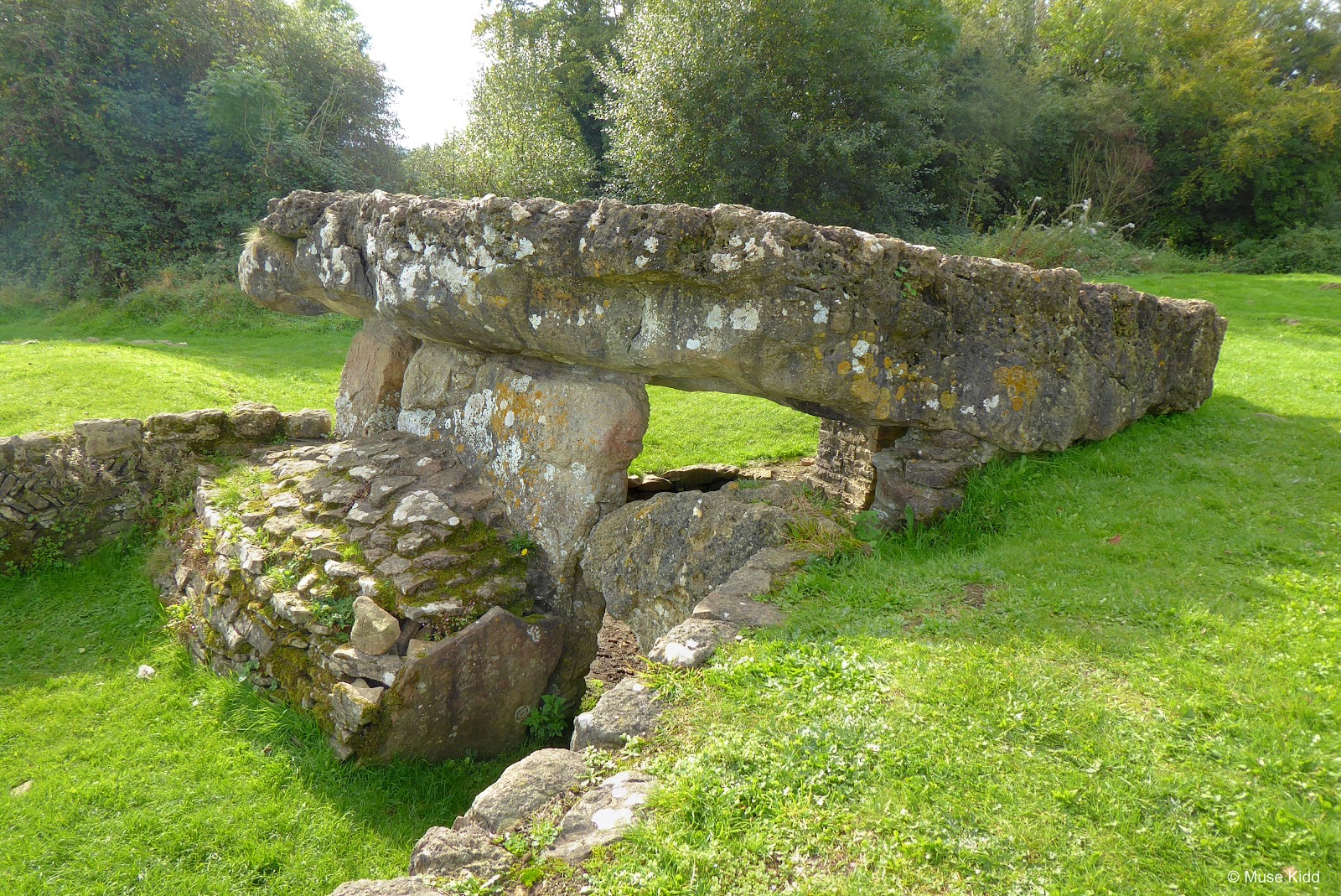
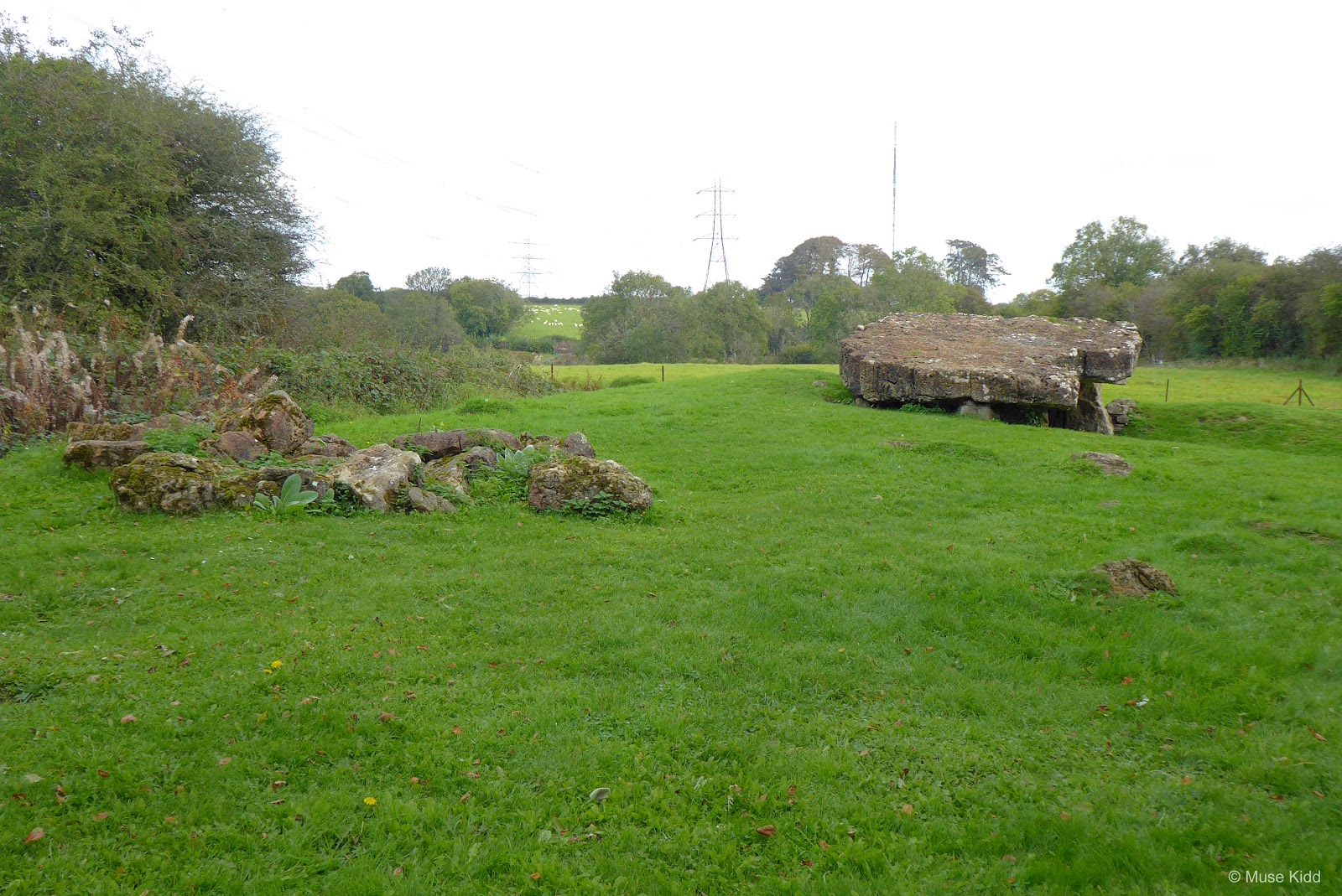
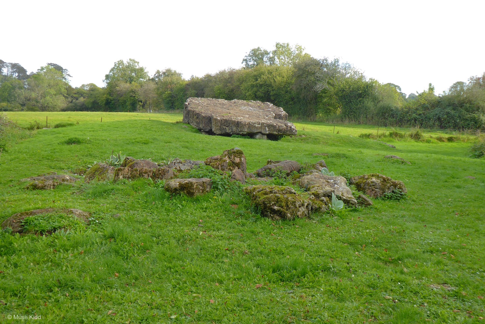
As you approach the dolmen, there is an immediate distiction between St. Lythans and this one. Tinkinswood clearly resembles what one would think of as a burial chamber.

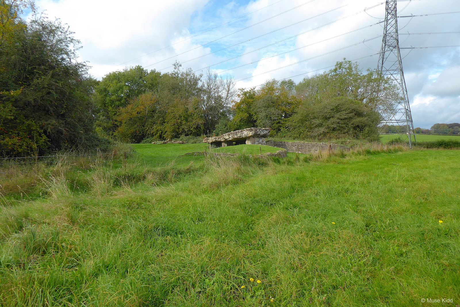
You can see some of the mound still surrounds the chamber and the forecourt is clearly visable. Though much as been excavated, the remains are still quite primative.


Measuring 24 feet (7.3 m) x 14 ft (4.3 m) and thought to weigh over 40 tons, this may be the largest capstone not only in Britain, but in all of Europe as well.

The burial chamber was first excavated in 1914 and the broken bones of over 40 people were uncovered. Pottery was also found that indicates the tomb was probably used by a large community over a long period of time, perhaps until the early Bronze Age. It was during the 1914 excavations that restoration work was made to support the capstone with a brick pillar.

Let's walk around...


I kid you not, it was pretty damn spooky crawling inside this thing. Cool, but spooky.

But things starting feeling really strange when I walked around behind the chamber.
The ground was very uneven and despite being mostly covered in grass, I could feel rocks just beneath the surface. But what was completely unnerving was that when I stepped, I could feel the rocks shifting underfoot. It was a very strange senstation. It felt as if I was standing on a carpet laid over the ground.
Then I looked closer at a small mound of rocks. They seemed odd.

And when I looked at them at a slightly different angle (below), I could see it then. There is another chamber behind the main dolmen. You can clearly make out that there is a dome here and this is perhaps the forecourt and entrance.
What I had been standing on at the back, was the collapsed roof of a large burial chamber. And when I realised this, the hair on the back of my neck stood up. My first thought was; "There are people here."
What I had been standing on at the back, was the collapsed roof of a large burial chamber. And when I realised this, the hair on the back of my neck stood up. My first thought was; "There are people here."

I'm not one given to superstition, I don't believe in ghosts or any of that nonsense. I have zero religious faith, but I do think animals on all levels can sense life and death. I felt death here.
Then, I walked down into the forecourt. I just felt compleled to show my respect after stumbing upon this place — after walking on the bones of the dead. I wanted to say I'm sorry; to whom — I haven't any idea. But I was drawn closer.
So you cannot imagine how stunned I felt standing in this solomn place when I looked down at my feet.

Was this some sort of talisman? Clearly someone put that rabbit here and recently. It wasn't shot either. It had been killed by hand. There was no blood and it had been lain in the middle of the ring.
I don't know why, but I immediately looked up and around me on all sides. I wondered if I was being watched, but quickly realised that I wasn't.
Still, this place has a very strange vibe to it. I'm guessing there is someone or a group of someones, who visit this place. People who hold some sort of rituals here... and I can completely appreciate that. In fact, I hope they do.
But for now, it was time for me to leave this spooky, yet terribly intriguing place. I took a few last snaps of the surrounding countryside and said my good-byes.


Before I leave, I will add one more thought regarding the difference between these two neolithic sites. St. Lythans feels empty. It seems lost to time. A remnant of the past; it is over and done with. Whilst on the other hand, Tinkinswood feels active — as if something is still happening here.

Cardiff etc.
I should have documented more of my ride home, but it was late in the afternoon and I found myself heading into Cardiff on the very busy A48 at rush hour. It was not a good time to be cycling in traffic; much less stopping to take photographs.
I made my way to St. Fagans National History Museum where I got onto the Ely Trail. And here's an odd thing; This trail was once heralded by Sustrans and now it is not even listed on their website. (I am familiar with this route because when I was a volunteer for Sustrans, I helped signpost this very trail!) It's as if they have just abandoned it. It's very odd?
I made my way to St. Fagans National History Museum where I got onto the Ely Trail. And here's an odd thing; This trail was once heralded by Sustrans and now it is not even listed on their website. (I am familiar with this route because when I was a volunteer for Sustrans, I helped signpost this very trail!) It's as if they have just abandoned it. It's very odd?


It's a shame that the path doesn't get more attention, because it's quite nice. There are some sections which are unpaved and rutted, but aside from that, it's lovely.
I will admit that once you leave the traffic-free sections of the trail, navigating through the neighbourhoods can be rather tricky. Yet, some of the neighbourhoods are beautiful (see below and note 20 mph speed limit!). But, that doesn't explain why Sustrans has just abandoned this route?

Anyway, I made my way across Cardiff and stopped briefly at this popular location in Splot; for they alway have an interesting message painted on their wall.

I pedaled my usual route home through Marshfield and Newport, snaking my way up NCN Route 47 to 14 Locks to suddenly find myself in that hazy, late afternoon light, where if you're in just the right place — at the right time; something magical appears.


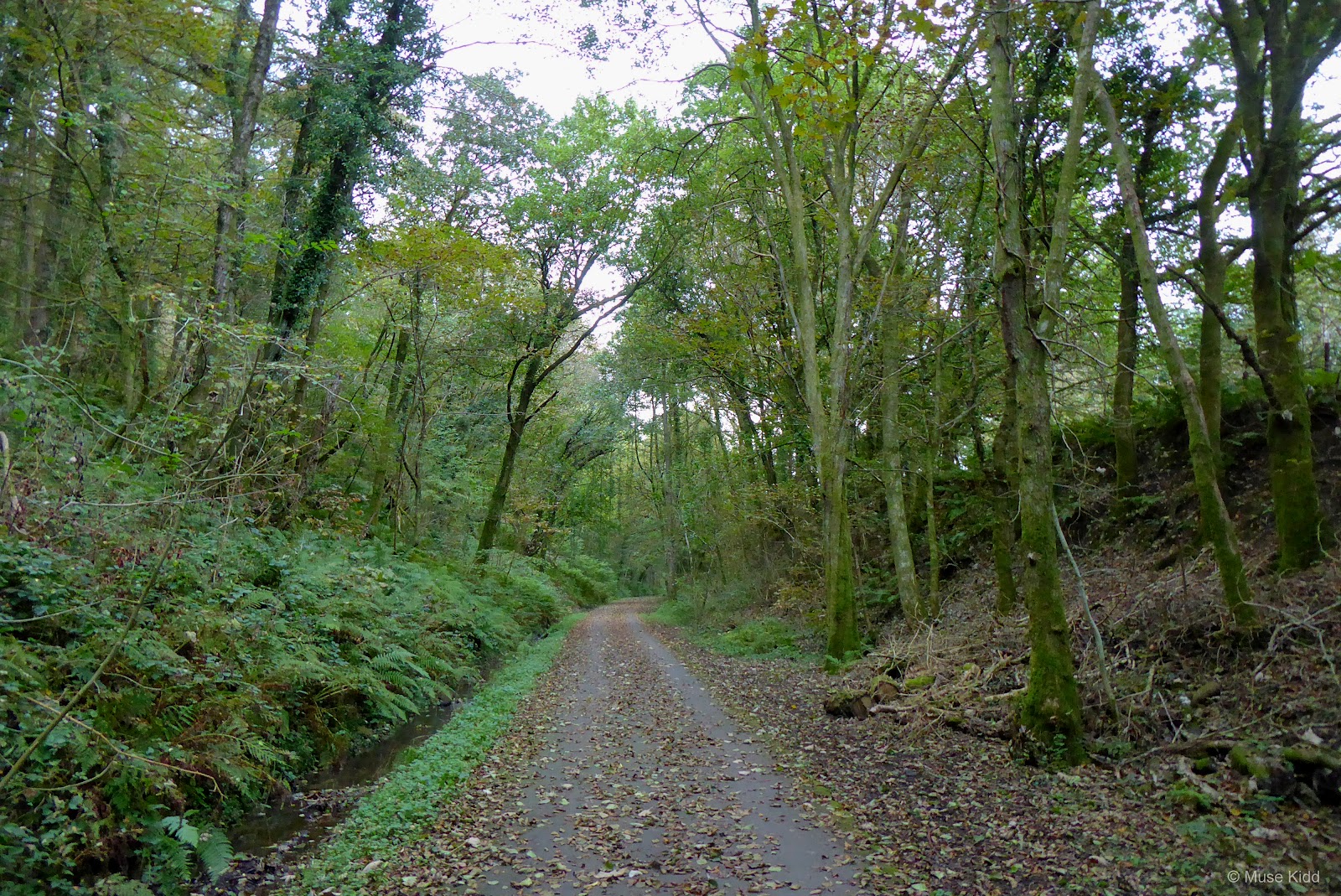
My last photos were taken as I was riding up through Sirhowy Park. I was hoping to catch a bit of the Autumn colours; the leaves don't often last very long in Wales, but the gloom lingers.

Summary: St. Lythans & Tinkinswood
It was a brilliant day... Beyond anything I could have expected or hoped for. I'm enjoying exploring the Vale of Glamorgan. It is much more secluded than one would expect. Each time I venture there, I discover something new and intriguing.
I would like to have had some photos of the route to and from St. Lythans & Tinkinswood, but that is for another day — when the time is better suited and perhaps on safer roads.
I would like to have had some photos of the route to and from St. Lythans & Tinkinswood, but that is for another day — when the time is better suited and perhaps on safer roads.
The route was equal parts known and unknown; the unknown; however, held some amazing surprises. I am anxious to return and I've already found myself looking at Google Maps for new places and interesting roads to explore. I have to say too, that I am suprised by the amount of hills!
The weather was a mix of beautiful skies and sun, intermittently mixed with heavy clouds, dark skies and the threat of rain, The day; however, remained dry and pleasant. Perfect for a cycling adventure.
I hope you enjoyed this little write-up and as always, thanks for spending your time with me & Bike Wales.
Cheers! - muse kidd
| Ride Name: | St. Lythans & Tinkins |
| Start Date: | Thu. Oct. 14, 2021 |
| Starts in: | Oakdale, Wales, GB |
| Departed: | 7:17 am |
| Distance: | 78.6 mi / 126.49 km |
| Elevation: | + 4099 / - 4099 ft |
| Max Grade: | 11.4% |
| Duration: | 11:53:43 |
| Move Time: | 07:25:34 |
| Stop Time: | 04:28:09 |
| Max. Speed: | 35.3 mph |
| Avg. Speed: | 10.6 mph |
| Weather: | Sun and clouds |
| Temp: | 11°c / 52°f |