It was a typical November day in Wales; gray, overcast with occasional rain or drizzle on and off all day. There was a surprising amount of colour left in the trees for this time of year... so why not spend the day documenting the Vale of Usk — again.

Overview: Vale of Usk [ explore ]
Date: November 16, 2021
Distance: 78.3 miles / 126.01 kilometres
Elevation: +4,190 ft / -4,189 ft
Duration: 7 hours, 37 mins.
Distance: 78.3 miles / 126.01 kilometres
Elevation: +4,190 ft / -4,189 ft
Duration: 7 hours, 37 mins.
Planning a cyce route is a time consuming process. When I first began to document this route, it was mid-June on a bright and sunny day. However, by early afternoon I had some problems with my camera and failed to complete the photography.
By the time I began this attempt, it was late Autumn and the weather wasn't nearly as nice. However, the colours of the trees were exceptional. I then had two different collections of photos; one set was sunny and bright from the summer (though incomplete), whilst the second set was complete, but much moodier and dark.
An additional consideration was that there are several variations to this route which I could choose to include. So, I'm putting this out as a preliminary report for a more formal write-up which I hope to develop and finalize for a future Route to Ride.
So here we have it. I've decided to go with the second set of images from mid-November. I think they're worthy of a report.
Note: The map above includes my entire day of cycling from Oakdale down to Newport, north to Usk with a loop up to Raglan and then back to Usk. From Usk, the remainder of my ride was heading back home to Oakdale.
PART ONE | Newport to Usk | 11.1 miles
Leaving out of Newport along NCN Route 88 to Caerleon, then joining Usk Road for a simple ride along the road to the town of Usk itself.
PART TWO | Usk & Great Oak Loop | 17.7 miles
This is an easy loop out to the town of Raglan, the villages of Llanarth and Great Oak, and then back to Usk.
SUMMARY | A Look Back and Future Plans
What works and what I'll do differently on my next version of this ride. And then what route will I use to get back to Newport for Part Three?
PART ONE
ON ROAD |
+ | NCN | 88 |  |
Newport to Usk |
Distance: 11.1 miles / 17.86 kilometres
Elevation: +532 ft / -502 ft
Elevation: +532 ft / -502 ft
Leaving out of town is most always the hardest part of a cycle ride. It's often the least attractive and it's generally hampered by traffic, difficult roads, and poor signage. Newport doesn't fail in this regard.
| ▲ Back to |
| ROUTE COLOUR KEY: | Traffic-free | Quiet Road | Shared Use | Steep Hill |
NCN Route 88 begins under the flyover for both the A4051 and the A4052. This area is often strewn with trash, broken glass and teenagers smoking weed. Personally, I think Sustrans could have chosen a better location to start a route. Today, it doesn't look to shabby.


Once out on the road, the route begins along a short stretch lined with small industrial buildings interspersed with row houses. Traffic can be awkward at times for the road is narrow in places, but they've recently installed traffic-calming measures so that the speed of cars and trucks has reduced significantly.
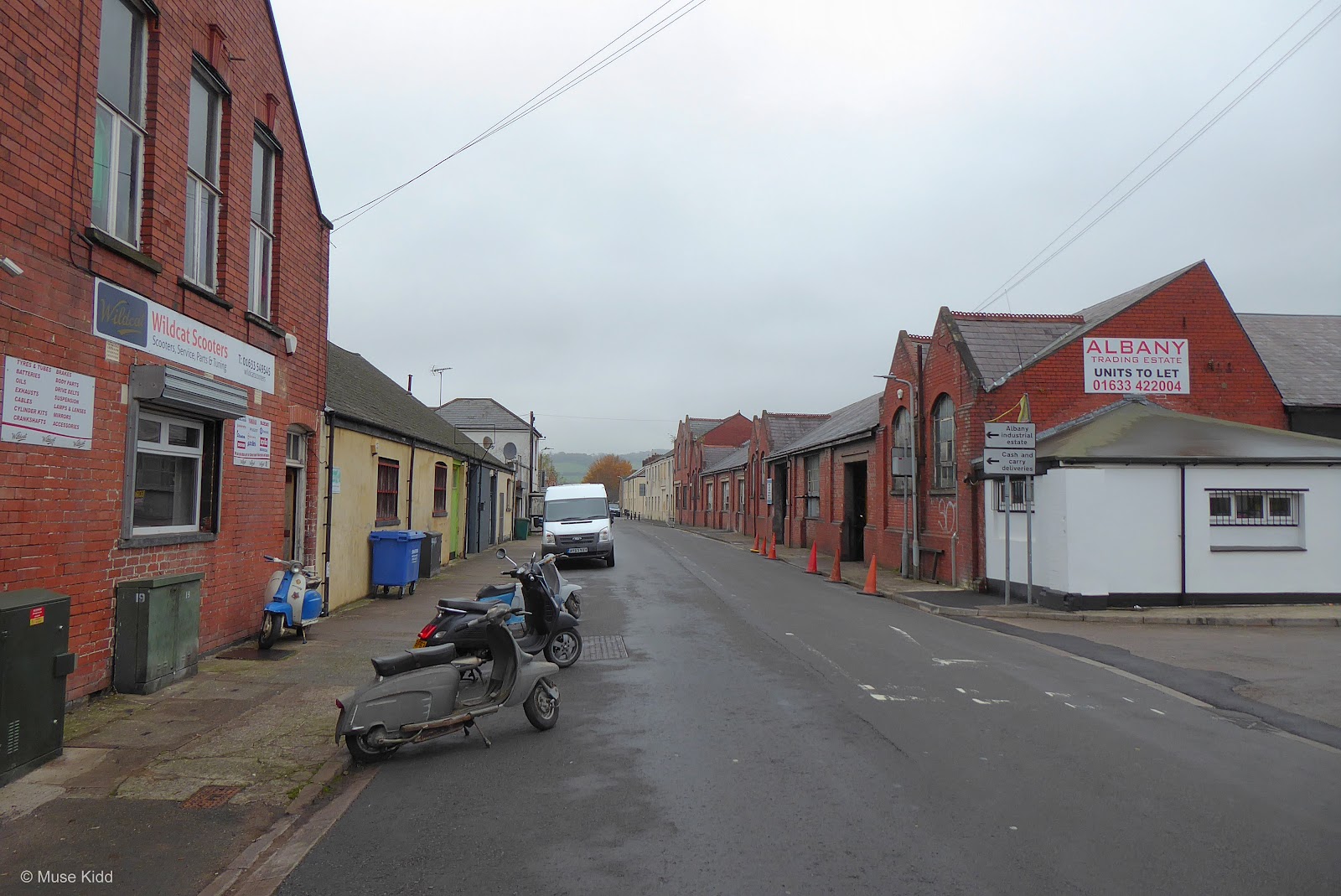
I dig this little shop; Wildcat Scooters (above). There's something ironic in the name. The old scooters on display have seen better days and now appear rather tame, but I like their spirit. (Is that the Who I hear playing in the background?)
As an entrance to a cycle path, this ain't the most inviting design (below). I certainly think the route deserves something more enticing because once you pass under the M4 motorway, everything changes... for the better.
As an entrance to a cycle path, this ain't the most inviting design (below). I certainly think the route deserves something more enticing because once you pass under the M4 motorway, everything changes... for the better.


Then, in less than a mile from the start, nestled between the busy A4042 and the River Usk is a wooded section that feels as if you're miles away from the city.


The mighty River Usk flows silently along the right side. Some reports indicate that it has the longest tidal range of any river in the UK and where it joins the Severn Estuary at Uskmouth, it is said to be the deepest river in the UK.


As you approach Caerleon, NCN Route 88 snakes closely along the banks of the Usk. Here we see the river at low tide.


This boardwalk is quite unique. Made of recycled materials and positioned over the floodplain, it's built to ensure that the path doesn't flood during high tide. Previously, the only connector between Newport and Caerleon along here was Pillmawr Road; a very narrow and steep hill... that also happens to be extremely busy with traffic. Thanks Sustrans!


The route then turns away from the river and continues behind a housing estate. You will soon pass a portrait bench provided by Sustrans (I should get the details!) and a signpost. I generally stop here because this is also the 20 mile mark from our home.
Note: Sustrans has a wonderful program for installing artwork along the National Cycle Network. To see more examples checkout: ArtUK.


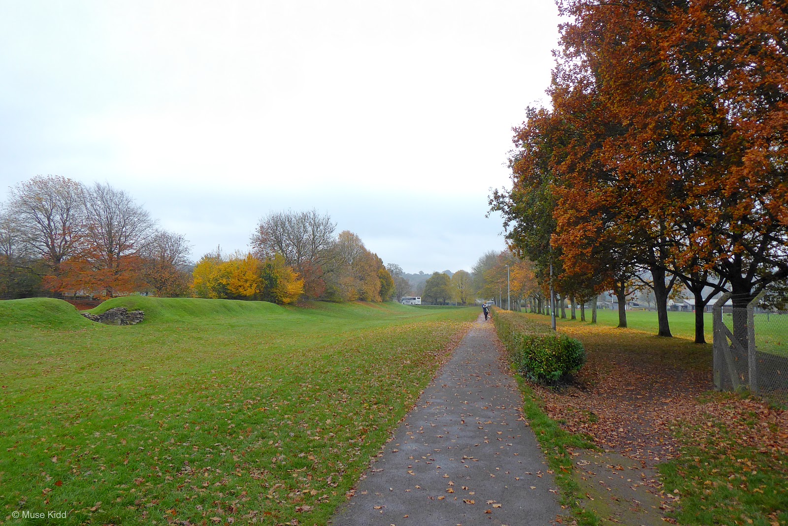
As you enter Caerleon the history surrounding the village becomes clearly evident, first as you pass the Roman barracks, the Roman amphitheatre, and then the National Roman Legion Museum itself.
It would be easy to spend a couple of days just wandering around and exploring. It's a fascinating place full of old world charm, but we must move on.
It would be easy to spend a couple of days just wandering around and exploring. It's a fascinating place full of old world charm, but we must move on.


NCN Route 88 ends in Caerleon and we'll enter the roadway as we head out on Usk Road. It's much busier than our other option (Bullmore Road), but it's much more direct. (Perhaps, I'll include the details of the other route in my future report, Vale of Usk III.)

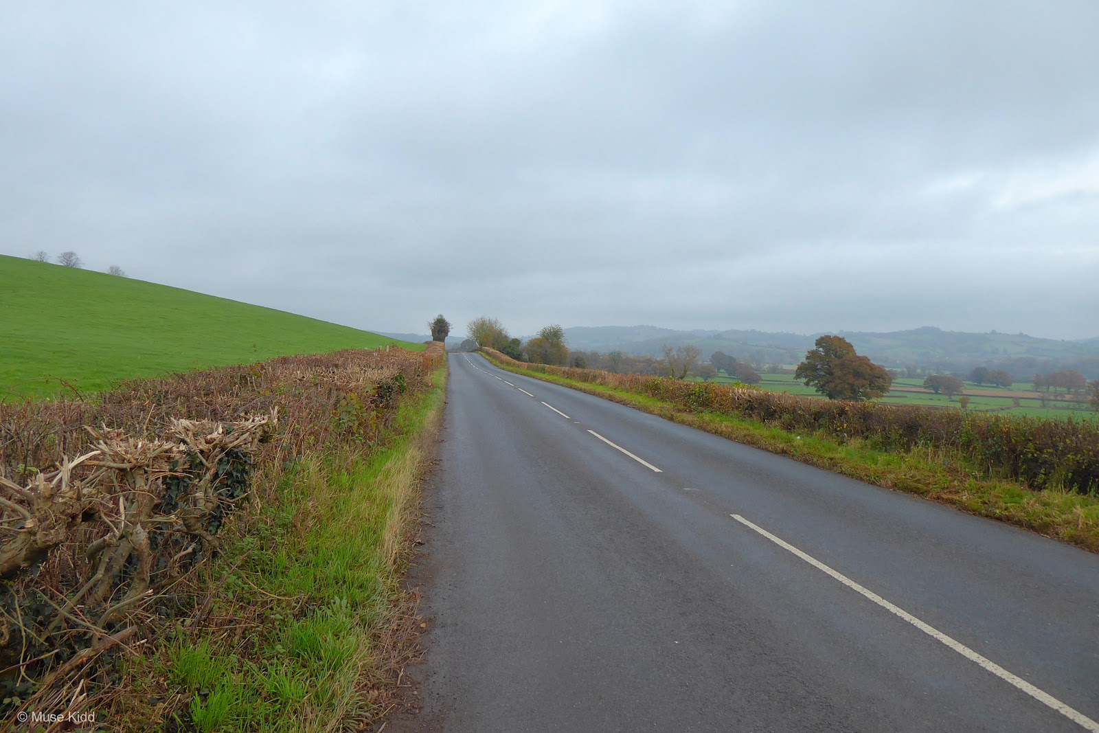
Meanwhile, we've got 8.5 miles of lovely cycling ahead of us. The road is fairly wide with broad sweeping curves so that traffic can easily see cyclists and often pass with little effort. It is a 50mph zone, but the route is quite popular with cyclists and on the weekends a peloton or two may even be spotted racing along.


It's easy to focus on the ride itself, for the rolling hills beg for speed. The cycling is just fantastic. But I am compelled to stop at times, to look around and try to take it all in. The landscapes are beautiful.


I'll be the first to admit that stopping as often as I do, makes the ride quite long, but on a day like this — I wouldn't want it any other way.


The temperature is hovering around 10°c (50°f) with a continual mist keeping everthing wet and glistening. There's very little wind at ground level, but the clouds are moving past at a brisk pace offering glimpses of blue sky and giving hope for a brighter afternoon.


Four miles from Caerleon we reach the quaint village of Llangybi where the White Hart Village Inn marks our halfway point. Originally dating back to the 12th century, this charming pub is also famous for having once belonged to Jane Seymour (in the 1500's), third wife to Henry the VIII.
A century after that, Oliver Cromwell used the tavern as his headquarters during his campaign in this area. Additionally, during the early 20th century, T.S. Elliot stayed here and name-dropped the pub in his poem "Usk".
A century after that, Oliver Cromwell used the tavern as his headquarters during his campaign in this area. Additionally, during the early 20th century, T.S. Elliot stayed here and name-dropped the pub in his poem "Usk".

Usk -
by T. S. Eliot
Do not suddenly break the branch, or
Hope to find
The white hart behind the white well.
Glance aside, not for lance, do not spell
Old enchantments. Let them sleep.
"Gently dip, but not too deep",
Lift your eyes
Where the roads dip and where the roads rise
Seek only there
Where the grey light meets the green air
The hermit's chapel, the pilgrim's prayer.
A short distance down from the village there is a small non-descript gatehouse with a surprising bit of history lurking behind its gates.

At the top of the ridge, hidden amoungst a dense woodland stands the remains of Castell Tregrug. An enoumous rectangular walled enclosure, approximately 164m by 78m (550ft x 300ft) and surrounded by massive ditches, makes these ruins the largest single-enclosure castle in all of England and Wales.
 |
| photo credit: Philip Halling 2011 |
These ruins are privately owned which prevents me from visiting and taking photos myself. But if you're interested in reading more, as well as viewing some wonderful images of the castle, be sure to visit: Castles of Wales, Llangibby Motte & Castle.
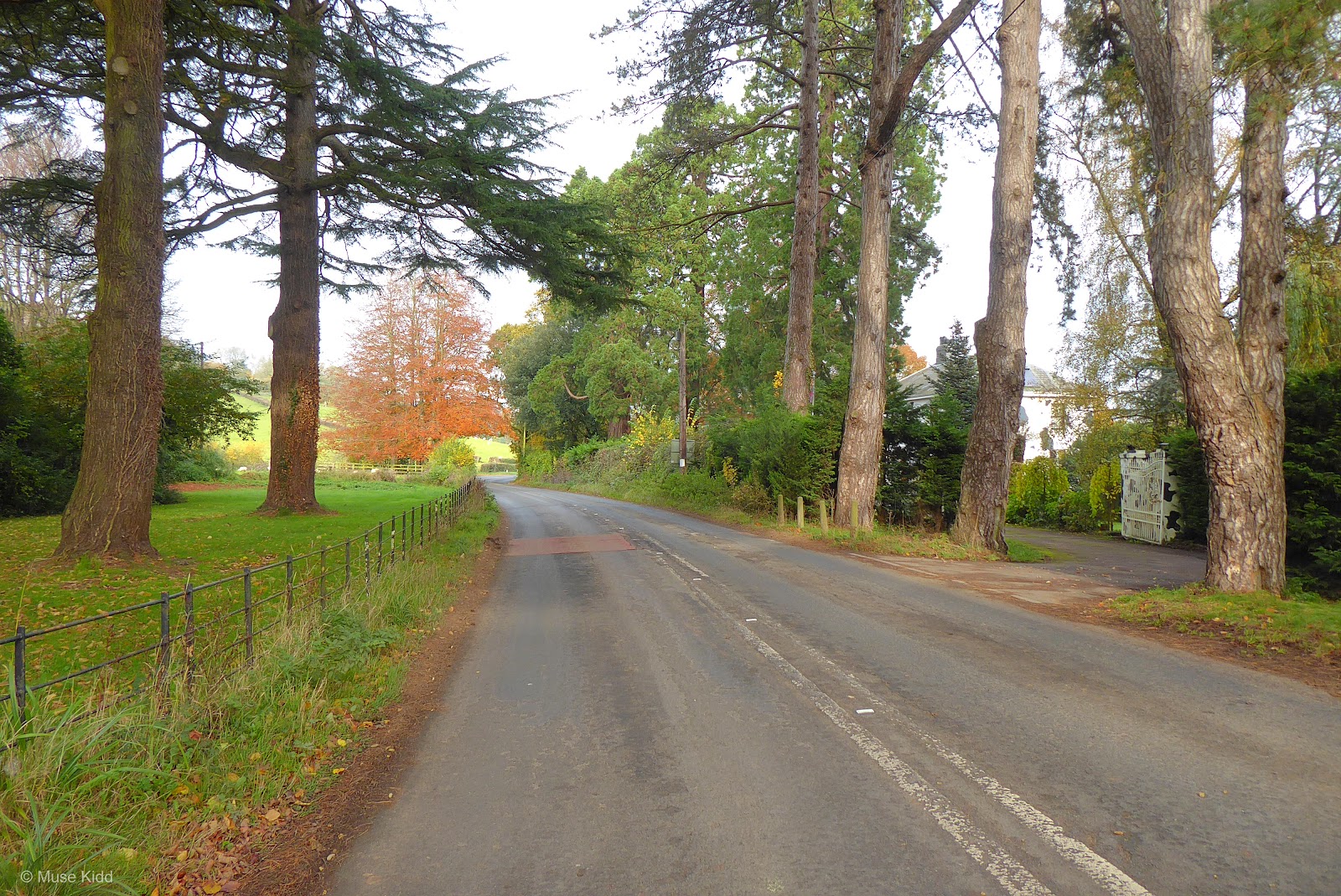
Across the road from the gatehouse, the early 18th century avenue of Scots Pines is still clearly visable as it leads straight across to the River Usk.
Across the road from the gatehouse, the early 18th century avenue of Scots Pines is still clearly visable as it leads straight across to the River Usk.


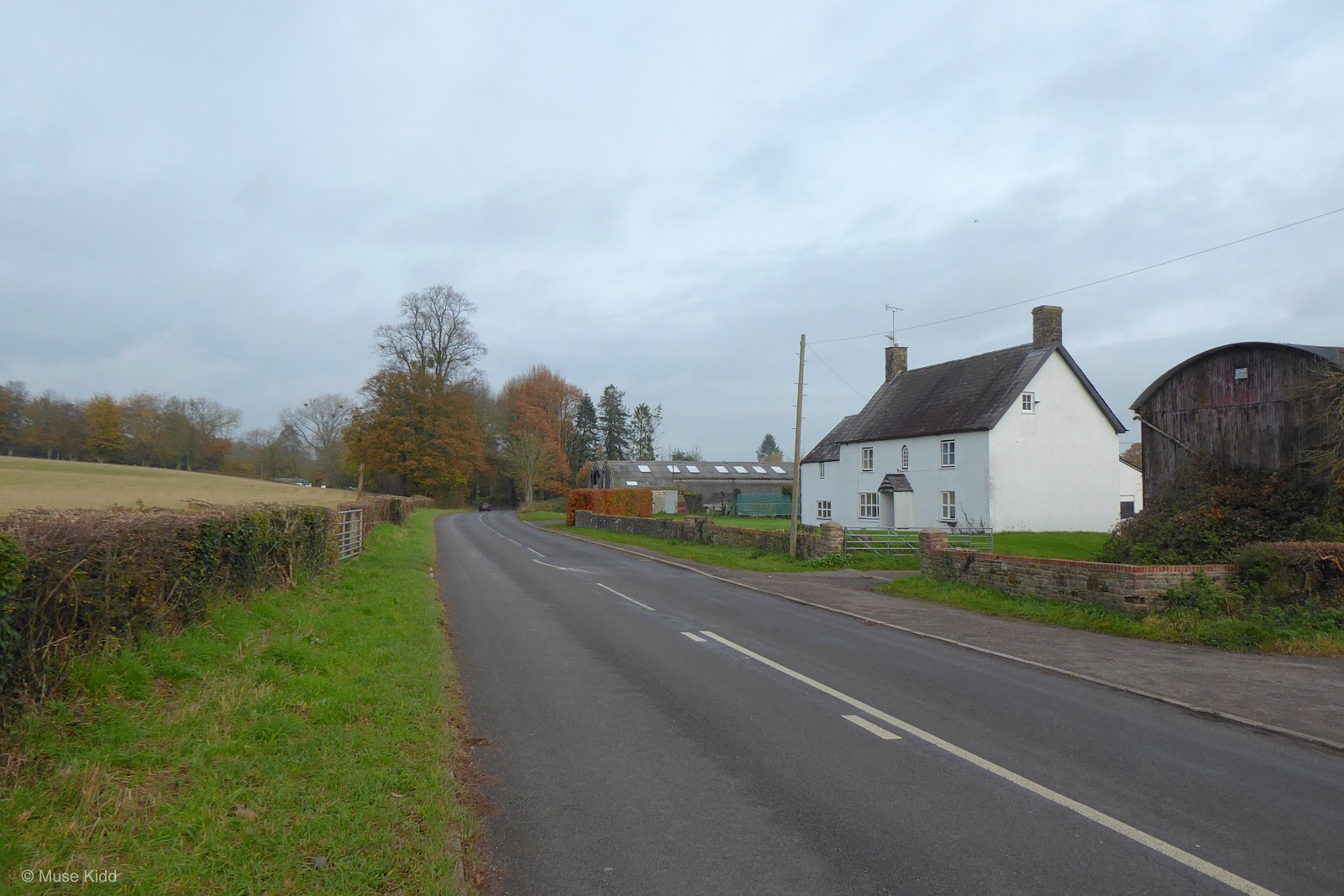
Then the road flattens out and without quite realising it, my speed increased and I found myself racing past St. Madoc's Church in the tiny hamlet of Llanbadoc just outside of Usk.
Note: You can see that this is also where NCN Route 423 crosses on it's way from Cwmbran to Monmouth.


It's hard to believe that I shot the next two photographs on the same day, much less the same time of day — two sides of the same bridge overlooking the River Usk.
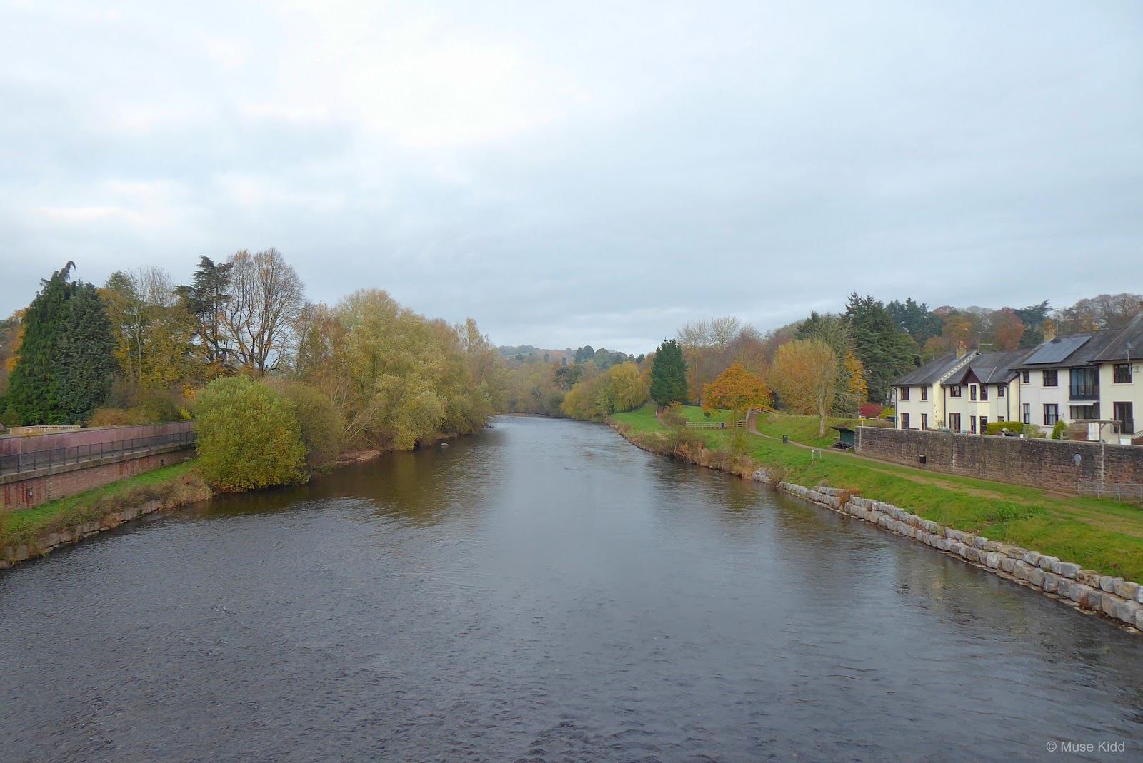

It's a common expression amoungst cyclists of the area to say; "All roads lead to Usk", because it truly seems to be the centre of cycling.

The town is extremely quaint with many charming shops along the High Street. There are plenty of cafe's and pubs, as well as the wonderful Usk Rural Arts Museum and a stunning castle. (See my gallery: Usk Castle)
PART TWO
ON ROAD |
Usk & Great Oak Loop |
Distance: 17.7 miles / 28.32 kilometres
Elevation: +837 ft / -836 ft
Elevation: +837 ft / -836 ft
After a break by the town square, we'll get back on the road heading out toward Raglan (seven miles). The overall circular route we'll take is quite popular with cyclists and you'll be hard pressed to not see other folks pedalling along the way.
| ▲ Back to |
| ROUTE COLOUR KEY: | Traffic-free | Quiet Road | Shared Use | Steep Hill |
You should understand that my approach to cycling and creating cycle routes is based purely upon the notion of cycling places I enjoy seeing. I could care less about my speed, cadence, or time. (I'm not concerned with any sort of Strava nonsense.) I try to choose quiet and safe lanes and avoid the busier roads where possible.

However; leaving Usk presents an exception to my rule. After a short ride out of town on the very quiet Chepstow Road (above), we enter the often very busy A472 (below). It's not too bad today and if you look closely you can even spot another cyclist coming our way.

But we're on this road for only a half mile before we exit left and back onto Chepstow Road again. With only a couple of gentle turns, this part of Chepstow Road is wide and straight for just over a mile before we veer off onto Monmouth Road.


And Monmouth Road is wonderful. Traffic is generally very light and it just rolls along. Sit back and enjoy.


At the next junction, we turn left following Monmouth Road. From here we'll cycle three miles straight into Raglan.


Traffic can be a sightly busier along this stretch, but as you can see; the valley is wide and mostly flat — visability is excellent. You can see and hear any approaching cars quite early and (more importantly) they can see you. Passing is generally without a problem.


Raglan is another popular hub with cyclists. Sitting at the junction by the square you're bound to see any number of cyclists pass through. It's a personal favourite stop for lunch... people watching is at a premium!


As you leave town, there is a dangerous roundabout across the very busy A40 dual-carriageway. Depending upon the time of day it can be navigated safely with caution.
Once on the other side, the route quietly rolls along Clytha Road for approximately two miles before turning off toward Great Oak.
Once on the other side, the route quietly rolls along Clytha Road for approximately two miles before turning off toward Great Oak.


This next section snakes around both Great Oak and Little Oak passing through Llanarth Estate and offering a charming mix of rural and village scenes.
This lane is fantastic. Traffic is minimal and I want to empahsize here too... when you get out in the country like this, listening to the sounds of nature is at it's best. From sheep baying far across a field to horses whinnying by a fence as you pass... even birdsong in the trees — this is what I search for and try to include with my rides.


After Great Oak (and then Little Oak as I've heard it called...), the route comes to a junction just below Llanarth Estate entrance. We turn left and continue down the road toward Old Abergavenny Road and the Clytha Estate.
It is along this section that we will merge onto NCN Route 42 which we'll follow all the way back to Usk. And I wonder, could you ask for a nicer road on which to cycle?
It is along this section that we will merge onto NCN Route 42 which we'll follow all the way back to Usk. And I wonder, could you ask for a nicer road on which to cycle?

Why did I not stop to photograph the inscription on this watering trough? What is it's story? How and when did it get here? I need to get the details!


Old Abergavenny Road is somewhat busier, but in less than .5 mile we turn right at the Clytha Estate. From here the road narrows again as it begins a series of rolling climbs toward the sleepy village of Bettws Newydd.
There's also a small car park for hikers to wander across parts of the estate as well as visit Clytha Castle. Read more at the Landmark Trust: Clytha Castle. You can see a few images of the castle (folly) from a visit I made here back in 2013: Gallery: Clytha Castle.
There's also a small car park for hikers to wander across parts of the estate as well as visit Clytha Castle. Read more at the Landmark Trust: Clytha Castle. You can see a few images of the castle (folly) from a visit I made here back in 2013: Gallery: Clytha Castle.


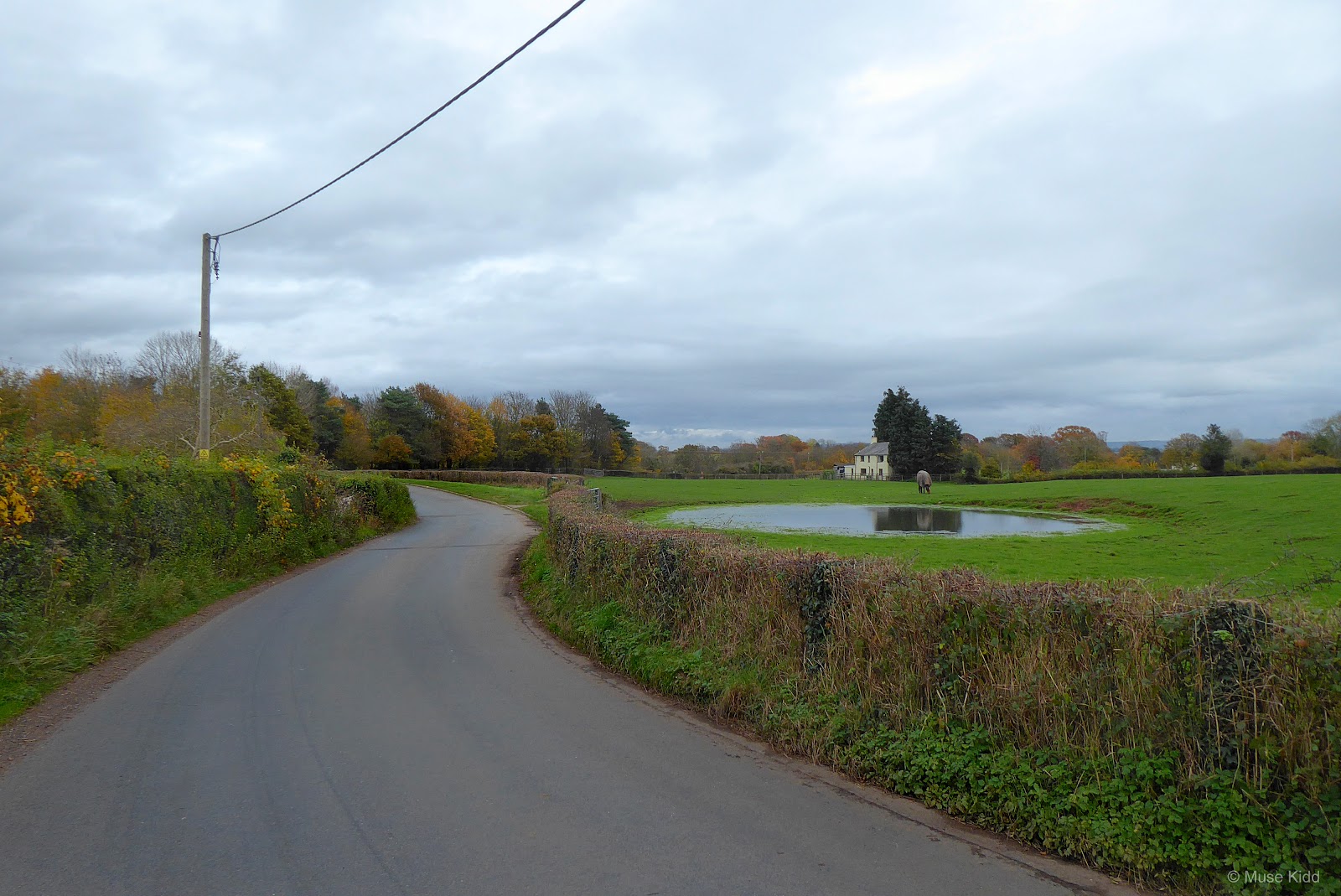
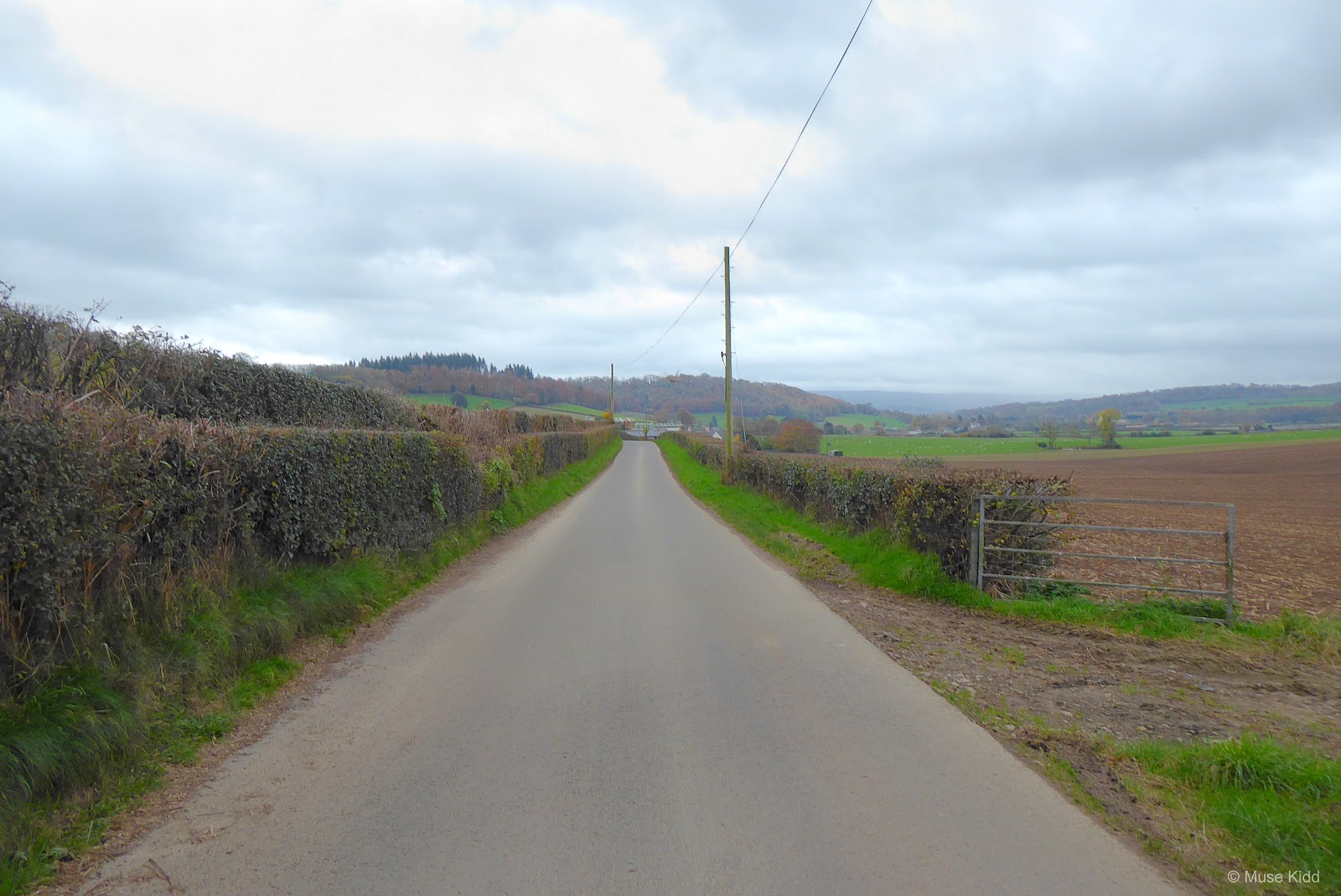
Traffic again is very light. (I've cyled this road many times and not passed a single car!) And when you get a chance to peer through the hedges on your right, the views looking out over the Vale of Usk are quite lovely.


Coming into Bettws Newydd is a modest affair. It's nice to see a village again, but this one is exceptionally quiet. There's not much here really... no shops or facilities, just the Black Bear Inn and this lovely watering spot(?) I don't know what to call it actually.


I've photographed my bike leaning up against this little structure many times (My Rides: Goytre & Bettws Newydd Loop) and it's inexcusable that I cannot describe it with more detail, but that's just a reason for my return.
I recently acquired the book; Hando's Gwent, edited by Chris Barber, and without going into a lengthy diatribe, Fred Hando chronicled and sketched much of the lesser-known architecture in this area then known as Gwent.
It was a traveler's guide of sorts, but also a historical catalogue of interesting places and stories. It was designed, so it seems, as not only a resource for tourists, but also for local folks — as a sort of reminder of the unique features that gives this area its character.


So I'll come back and photograph the Black Bear Inn and I'll wander around back to see the Norman mound and then visit the Church of St Aeddan with its legendary rood and see the tree within a tree and I should climb the hill to visit the prehistoric hill fort at Coed-y-Bwnydd. That is what I'll do next time.

Today, this report is about traveling. My focus are the roads, the landscapes, and the journey one takes to get to these places. I want to highlight the unique and lovely rides one can still experience on a bicycle in this tiny little part of the world.


I then cycled back into Usk and took a break.

Summary: A Look Back and Future Plans
Vale of Usk [ explore ] - I had every intention of documenting my ride back to Newport, but first the battery died on my camera and then as it turned out, my Garmin went a little wonky after leaving Cwmbran and I lost part of the route (note: the straight vertical line in the map below.) I'm sure my ride was longer than what was recorded as well.
Note: The map above includes my entire day of cycling from Oakdale down to Newport, north to Usk with a loop up to Raglan and then back to Usk. From Usk, the remainder of my ride was heading back home to Oakdale.
Such is the nature of cycling — ya never know what you might encounter, but I'm fortunate to live so close... I can return with ease. And that is what I'll do.
I need to record Part 3 of this journey so that I can create a proper "Route to Ride". My thoughts are that the return trip will be down Bullmore Road(?), but I could head over to Goytre and return down the canal path (NCN Route 49). This is where my idea of modules might be useful. I can create options.
Since you've made it this far, you can see that my writing tends to drift at times. I work on these reports over several days and often my mood changes or I have a slightly different feel for the ride on a different day. Who knows? Life is a work in progress.
I hope you enjoyed this little write-up and as always, thanks for spending your time with me & Bike Wales.
Cheers! - muse kidd
| Ride Name: | Vale of Usk II [ explore ] |
| Start Date: | Tue. Nov. 16, 2021 |
| Starts in: | Oakdale, Wales, GB |
| Departed: | 8:00 am |
| Distance: | 78.3 mi / 126.01 km |
| Elevation: | + 4190 / - 4189 ft |
| Max Grade: | 12.8% |
| Duration: | 12:50:55 |
| Move Time: | 07:37:15 |
| Stop Time: | 05:13:40 |
| Max. Speed: | 32.3 mph |
| Avg. Speed: | 10.3 mph |
| Weather: | clouds, some rain |
| Temp: | 9°c / 48°f |