Cycling from Monmouth to Abergavenny along the B4233 is only 14 miles, but it's a relentlessly hilly challenge with few facilities or escape routes along the way. Once you've committed to it, you've got to keep going.

Overview: Monmouth & Abergavenny Loop
Date: 07 July 2022
Distance: 80.9 miles / 130.20 kilometres
Elevation: + 4,615 / - 4,616 ft
Duration: 7 hours, 52 mins.
Distance: 80.9 miles / 130.20 kilometres
Elevation: + 4,615 / - 4,616 ft
Duration: 7 hours, 52 mins.
There is only one road that runs directly between Monmouth and Abergavenny and it is not for the feint of heart. It's a lovely route, but it's quite hilly and traffic can be an issue at times as well. You've got to be prepared.
I've cycled this route a few times previously and I generally start in Monmouth simply because the hills seem less severe traveling west. (Climbing out of Abergavenny on the B4233 is brutal!) But don't be fooled, the hills are still there and they will let you know it too.
It's important to pick the right time of day and when during the week to cycle. I chose a mid-week, mid-day ride and it was great.
Note: The map above includes my entire day of cycling from Oakdale to Monmouth, Monmouth to Abergavenny, and then from Abergavenny up through Clydach Gorge to Brynmawr. The last part of the ride was across the Heads of the Valley from Brynmawr to Tredegar and then from Tredegar down Sirhowy Valley to home.
Of course, cycling 40 miles to Monmouth to begin the ride and then cycling 35 miles home from Abergavenny afterwards, added to the challenge, but it was a fabulous summer day; warm with blue skies. I had plenty of time and all day to just ride my bicycle. For what more could I ask?
Monmouth to Abergavenny
The route I followed is the Old Turnpike Road heading north-west out of Monmouth (B4233). It can be quite busy during rush hours on weekdays, but as I will show below, it can be surprisingly quiet. I left out of Monmouth sometime around 10(ish) and hardly saw a car untill later in the afternoon as I approached Abergavenny.
I didn't take any photographs of my ride from Oakdale to Monmouth. My goal was to simply get there as early as possible and then begin. Once in Monmouth, it seemed only natural to start at the town's most recognised landmark; the Monnow Bridge.

Not the best angles, in fact, the other side is a bit nicer, but getting a shot without other people, especially other tourists taking photos at the same time is nearly impossible.


Heading out of town on Rockfield Road (B4233) is not terribly difficult and as I mentioned earlier, I picked the right time. There was hardly any traffic.

The photo below is for all the "rock'n rollers" out there... This is the legendary studio you've read about in the liner notes for years (if you're old enough to know what liner notes are?) The list of famous faces that have passed through these gates is extrordinary to say the least. Not sure? Check it out; Rockfield Studios.


But the road bekons...


With nothing but wide open farmlands, interspersed by lovely country homes, and hardly any traffic; the cycling was fabulous.


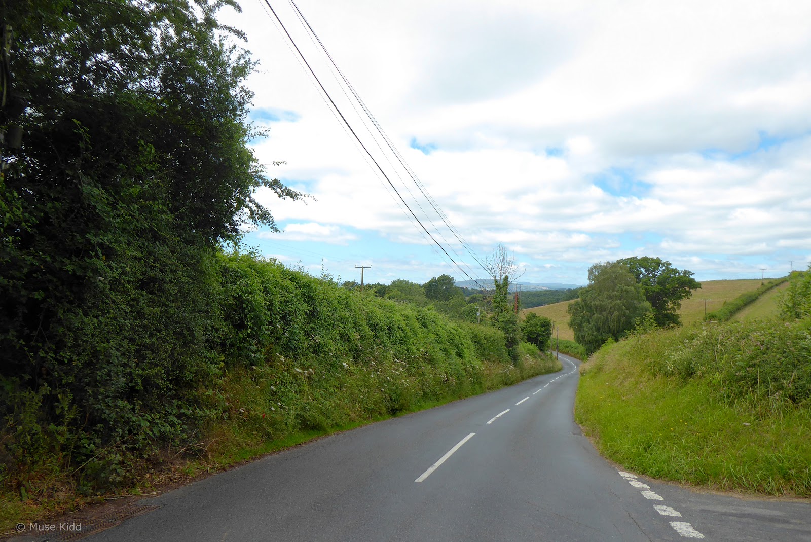
But I should let the photographs countryside speak for itself...


The hills are gentle and the road just rolls along.


I've got plenty of time to go at whatever speed suits me and to stop whenever I choose.


At the halfway point along my way to Abergavenny, I discovered his lovely country house (above). This is Tal-y-coed Court, built by Sir Joseph Alfred Bradney c. 1883. There are terraced gardens along with a Grade II water trough across the road (below). The enscription reads; Free water for all.
It's a lovely place for a short break and a snack.
It's a lovely place for a short break and a snack.


I find this house very interesting. First, it doesn't face the road as many homes do here in Wales, and secondly, this house looks very American. That is, it looks similar in style to Colonial houses you see in New England.
The triangular pediment over the front doorway, the curved arches and keystones over the windows, a centrally-placed chimney, and then being constructed entirely of red brick (ignore the pale yellow extensions); all combine to resemble houses you'd see in Boston.
The triangular pediment over the front doorway, the curved arches and keystones over the windows, a centrally-placed chimney, and then being constructed entirely of red brick (ignore the pale yellow extensions); all combine to resemble houses you'd see in Boston.

But the road bekons...


Glancing over my left shoulder, I spotted this hidden gem (above)... and I had to stop.


I can see that I'm nearing Llantillo Crossenny by the landmark steeple of St. Teilo's Church in the far distance (below). Because of its scale and state of preservation, it is considered by many to be one of the most magnificent medieval churches in Wales. Worthy of a visit, but I haven't time today.

This area is loaded with interesting places to visit. I'm just southeast of White Castle and as I was looking at St. Teilo's Church to my left, I completely missed Hen Gwrt Moated Site on my right. Urgh! (See: map below)


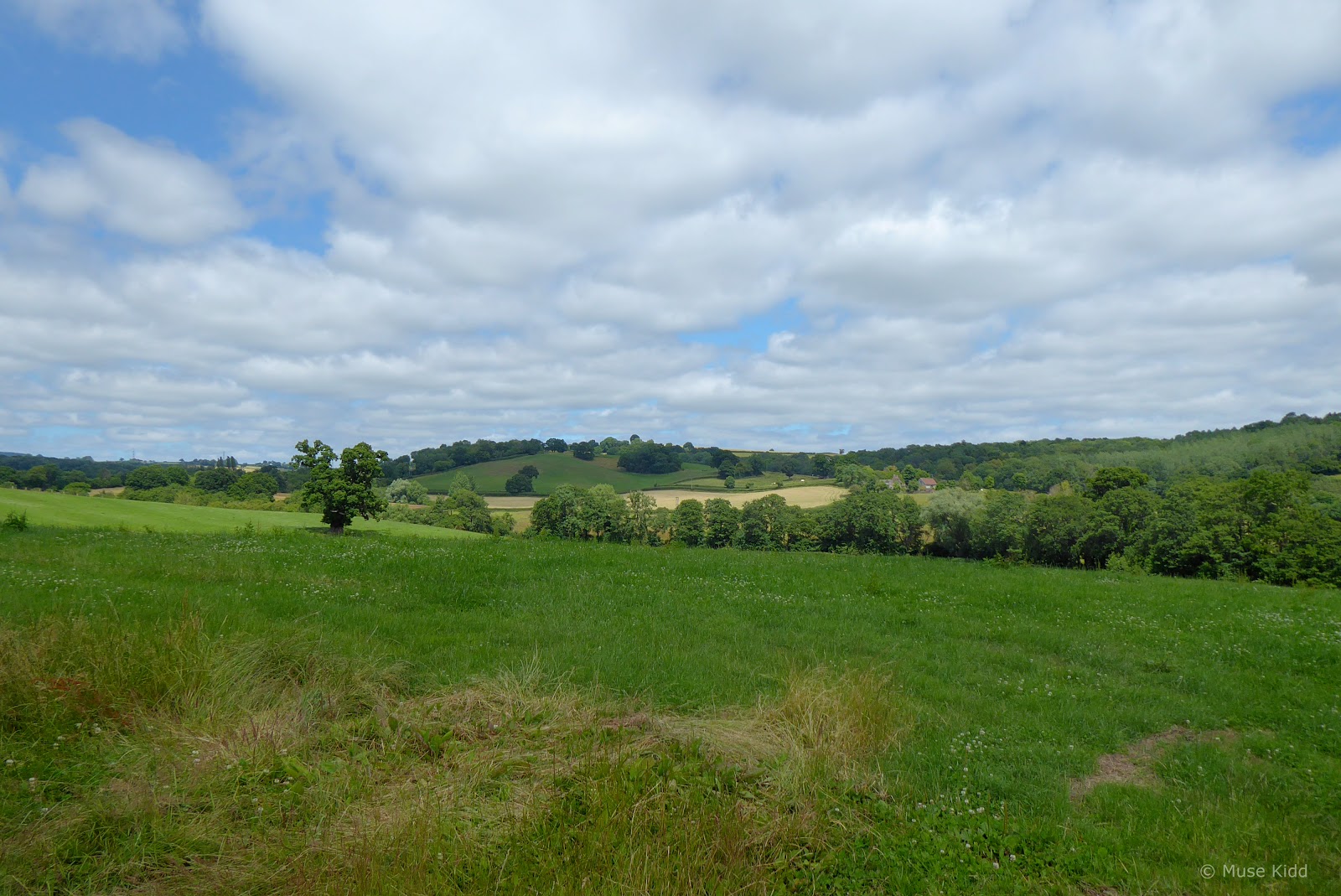
The road just keeps on giving! The country homes and farms along this stretch are stunning.


It's a fabulous afternoon. I'm nearing the village of Llanvaply, roughly 4 miles east of Abergavenny. I've not far to go, but here the gently rolling hills begin to change their personality.


I come around a sharp bend to sudden drop and then a steady climb for about a mile (below).


At the next bend there is another drop and then another climb. This climb; however, is longer and steeper at nearly 7% for over a mile past the village of Croes Howell.


At the crest of the hill, I pullover to the right side of the road. Sweat is pouring from my face as I seek shelter under a small grove of trees. In the near distance, the Skirrid rises along the horizon. Behind that, further back, Sugarloaf points it's nose into the sky (below).

I look around, wiping my face and say outloud; "what a day. I am a lucky boy indeed."

Then it's around the bend and downhill for a long, mile and a half— fast ride dropping into Abergavenny.


It is this hill, specifically that influenced my decision to cycle from Monmouth to Abergavenny. I have climbed up this road a couple of times and I think it is a fair assesment to say it's brutal.

And then, just like that, I was in town and drifting through the streets like a local.


Abergavenny is a significant junction for NCN Routes 42 & 46 and to be perfectly honest, the signs can be very confusing. If you haven't a map, it is quite easy to find yourself on the right route, but going the wrong way.
I crossed town on NCN Route 46 heading west toward Llanfoist. From there the route becomes a traffic-free path for nearly eight miles, climbing steadily through Clydach Gorge to the small town of Brynmawr. (You can read more about this wonderful route in my; "Routes to Ride" feature: Clydach Gorge.)
From Brynmawr it's a straight-forward ride across the Heads of the Valley on NCN Route 46 to Tredegar where I then popped onto NCN Route 467. I scooted my way down Sirhowy Valley to Blackwood, crossed the Chartist Bridge, climbed one more hill, and then I was home.
Summary - Monmouth & Abergavenny Loop
This was a big ride for such a small report, but I seldom ride the Old Turnpike Road and today's adventure turned out quite nice. I was expecting more traffic and I'm surprised at the details I discovered along the way.
I definitely want to go back to Llantillo Crossenny to visit St. Teilo's Church and Hen Gwrt Moat (I still can't believe I missed that!) Perhaps I'll follow the Four Castles Cycle Route(?)
I definitely want to go back to Llantillo Crossenny to visit St. Teilo's Church and Hen Gwrt Moat (I still can't believe I missed that!) Perhaps I'll follow the Four Castles Cycle Route(?)
I was was completely exhausted when I pushed my old Dawes through the back gate. It had been a great day and as much as I had discovered, there's always more to see in fascinating, fabulous Wales.
I hope you enjoyed my report and thanks for stopping by.
Seeya down the road... Cheers! - cm
I hope you enjoyed my report and thanks for stopping by.
Seeya down the road... Cheers! - cm
