Bannau Brycheiniog by Cycle | Day Two
Talybont-on-Usk to Trapp

Unlike the first day, my second day started off with heavy rain. However, the weather improved as I climbed deep into the heart of Bannau Brycheiniog and made my way across the high plateau toward the village of Trapp.
DAY TWO
| NCN | 49 |  |
+ | ON ROAD |
Talybont-on-Usk to Trapp |
Date: Tuesday, June 20, 2023
Distance: 40.2 mi. / 64.70 km
Elevation: +3,484 ft / -3,477 ft
Duration: 9 hrs, 40 mins.
Distance: 40.2 mi. / 64.70 km
Elevation: +3,484 ft / -3,477 ft
Duration: 9 hrs, 40 mins.
On day two I awoke before daylight to the discouraging sound of heavy rain and wind... not what I was hoping for. On the previous day, in my late-afternoon laissez-faire mindset, I had neglected to string out the side guy lines for my tent and despite the lovely grassy field where I was camped, water had pooled under my groundpad. Urgh.
This was going to be my "big day". I had over 40 miles of mountainous climbing along unknown roads and conditions. I was not happy to think that I'd also be navigating all of that in the rain, but I fixed some breakfast, broke camp, packed the bike (wet!) and got on the road. There was no time for photos or pointless grumbling. I just had to get going.

From Talybont-on-Usk to Brecon the rain was intermittent. My route also happened to coincide with the Taff Trail for the first seven miles (see the small orange sticker beneath the Taff Trail sign in the image above). I had cycled this section several times before, but today I just had to keep my head down and pedal through.

From Talybont-on-Usk the route follows B4558 (again) for roughly 1.8 mi. to the village of Pencelli, where it then veers off onto a small lane winding through the countryside.

Surprisingly too, the wet made made everything silvery and shiny. The gray skies contrasted all the colours and the scenery was just lovely.


It was a completely different feeling day. The temperature was much cooler and yet when it wasn't raining the air felt thick and humid. Insects were buzzing like mad, especially as I cycled between the hedges along the narrow lanes... summertime.


At the village of Llanfrynach there is a small church which I have phototgraphed several times (image above). Maybe it's an optical illusion, but when I look at it; the tower seems wider at the top than at the bottom? I dunno, maybe it's just me.

Plus too, I generally stop here because they have the most cordial public toilets I have ever seen. They are managed purely by volunteers as well, accepting donations by a small coin slot above the bench. You would NEVER see something like this in the United States.

As I left the village, I stopped to admire the landscape. Far across to my right Pen-y-Fan loomed amidst the drifting morning clouds (image below).


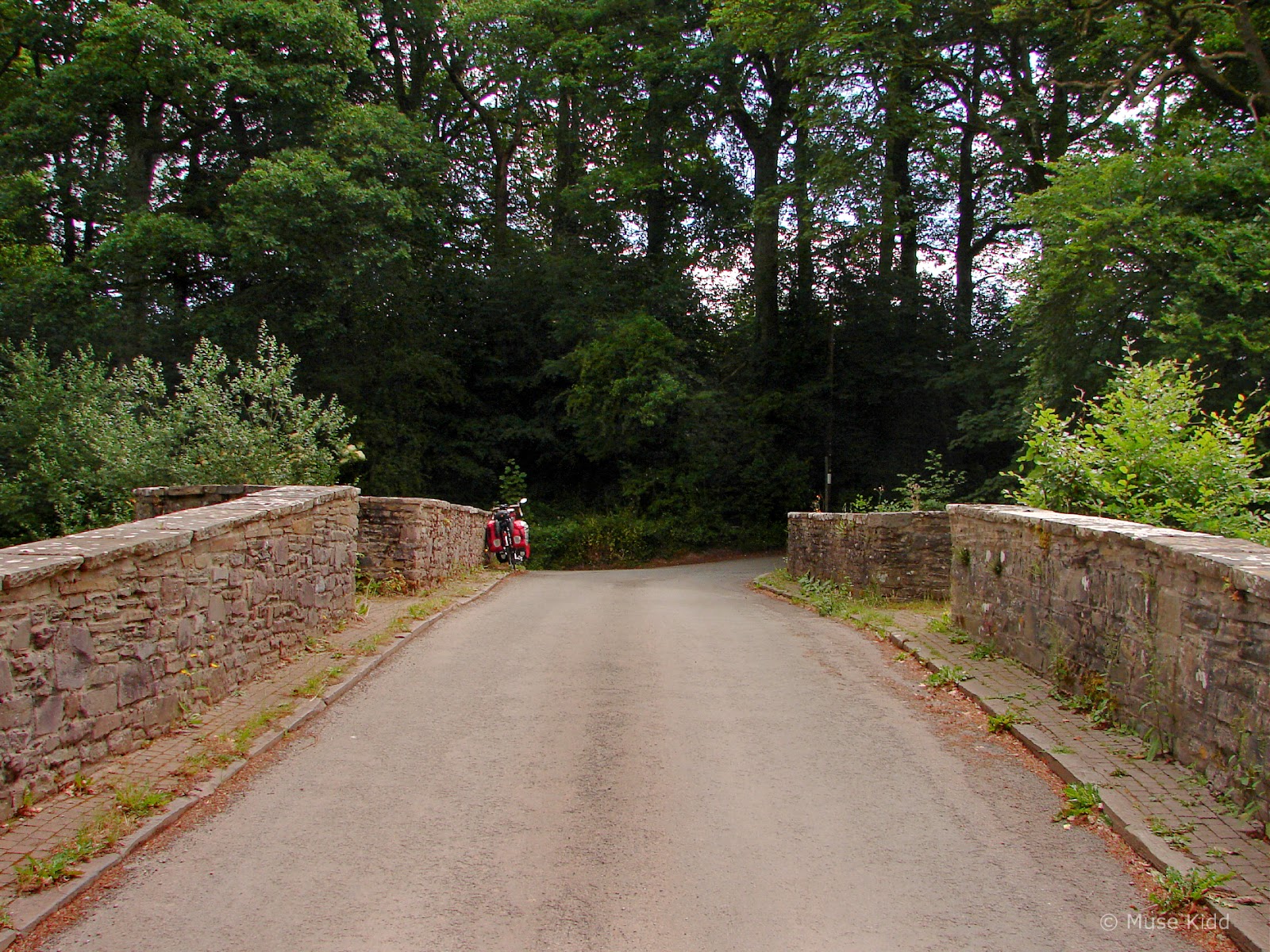
Then I was back on the main road for a short .5 mi. down the hill and across the very narrow, single-lane bridge over the River Usk to re-enter the M&B Canal towpath.
` 

Looking south from the bridge you can see Brynich Aquaduct, one of the largest aquaducts ever built in Wales as it carries the M&B Canal over the River Usk. (This is another fascinating landmark I need to visit up close.)
` 
On the far side of the bridge at Brynich Lock, I entered the traffic-free towpath. From here it's just a couple of miles to the town of Brecon. Just then too, the sun came out and it was a glorious morning. What a lucky boy.

This part of the canal starts off incredibly lush. The tree branches hang low, dripping from the rain only moments earlier. As I rolled along, my tyres softly crunched to the sound of birds chirping everywhere.


Occassionally, when the trees opened to my left, I could see the River Usk and valley running below the canal. Pen-y-Fan still loomed in the distance clouds (image above). It was a landscape worthy of Constable.


I passed under several small bridges, I rang my bell, but no one was about.


Approaching the town of Brecon, the path veers left and away from the canal directly, leading me past another historical landmark of note.


Illustration by Michael Blackmore
References:


From here the canal takes on a much more urban look. Houses line the sides. Old factories and warehouses have been converted into modern flats and businesses.


As I approached a holiday tour boat alongside the canal I could hear a man singing softly. Through the curtains I could see someone puttering about inside and the boat seemed to rock gently to his tune. It was quiet soundtrack to surprisingly quiet morning.


I climbed one of the small bridges that cross the canal to take in the view. The scenes were urban, yet peaceful and serene. A far cry from their industrial past.


By 9:00 am I reached the northern terminous of the Monmouthsire & Brecon Canal. There are nearby shops, cafes, pubs, and toilet facilities. This basin is considered the staring point for the canal which runs 35 miles south to Newport.
Note: This is also the starting location of the Taff Trail (NCN Route 8) which runs 55 miles south to Cardiff.

From here I left the canal behind and began snaking my way through the sleepy streets of the historic market town.

Brecon itself is a fascinating place to visit. The narrow lanes are full of character with many interesting places to explore. Medieval churchs, Victorian architecture, and colourful houses line the streets; many of which have been pedestrianised. There are outdoor cafes and pubs throughout the town. As for the traveling cyclist, there's even Bi-Ped Cycles nearby as well.

The town of Brecon dates back to when Britain Y Gaer (Cicucium) was established as a Roman cavalry base for the conquest of Wales. Since then Brecon has been the source of a strong military establishment in various forms for centuries. The town was once enclosed within Norman walls, but most all were destroyed during the English Civil War.
Brecon Castle was built in 1093 by the Norman Lord Bernard de Neufmarché. Brecon Cathedral was (re)built to it's current form c.1215. Additionally, there are several ancient churches dating back to the 1600's; most notably is St. David's of the Field, and obviously enough history to write a book (or two), see my choice; Brecon Through Time.
Brecon Castle was built in 1093 by the Norman Lord Bernard de Neufmarché. Brecon Cathedral was (re)built to it's current form c.1215. Additionally, there are several ancient churches dating back to the 1600's; most notably is St. David's of the Field, and obviously enough history to write a book (or two), see my choice; Brecon Through Time.
Note: This is one of my favourite destinations and the town deserves its own sidebar. I have also written about riding here previously. See my reports: Back to Brecon and Brecon & Beyond.

Two significant geographic factors play into the town's formation; firstly, it lies at the base of Pen-y-Fan Mountain where the Brecon Beacons mountain range roll down into the Usk Valley, and secondly it sits at the confluence of the Honddu and Tarell rivers as they both flow into the larger River Usk.
The distinctive bridge crossing over the River Usk as you leave town heading west (shown above) was built in 1563. But significantly, before the bridge was built, this was was one of the few places where the River Usk could be safely forded by foot, horse, or wagon. Now much repaired and modified, the 7-span stone Brecon Bridge is a listed historical monument which is still in use today for local and commercial traffic along the busy B4601.
The distinctive bridge crossing over the River Usk as you leave town heading west (shown above) was built in 1563. But significantly, before the bridge was built, this was was one of the few places where the River Usk could be safely forded by foot, horse, or wagon. Now much repaired and modified, the 7-span stone Brecon Bridge is a listed historical monument which is still in use today for local and commercial traffic along the busy B4601.

On the other side of the bridge, I turned northwest onto a small quiet lane weaving through the outskirts of town to reach Cradoc Road. Above me to my right Brecon Castle hovered menacingly and naturally too, the lane becaome quite steep.

Nearing the top of the hill is Brecon Cemetary. I stopped primarily because I was completely exhausted from the climb, but as these things happen; I also discovered the lovely little St.Mary's Church (image above).

And the hill continued as I slowly, slowly, slowly made my way up Cradoc Road and into the mountains of Bannau Brycheiniog; aka, the Brecon Beacons.
A National Park & National Treasure

Photo courtesy of Visit Wales
Map by Ordnance Survey © Crown copyright (town details by bike wales)

Photo courtesy of ExploreSouthWales.com

Photo courtesy of Visit Wales
References:
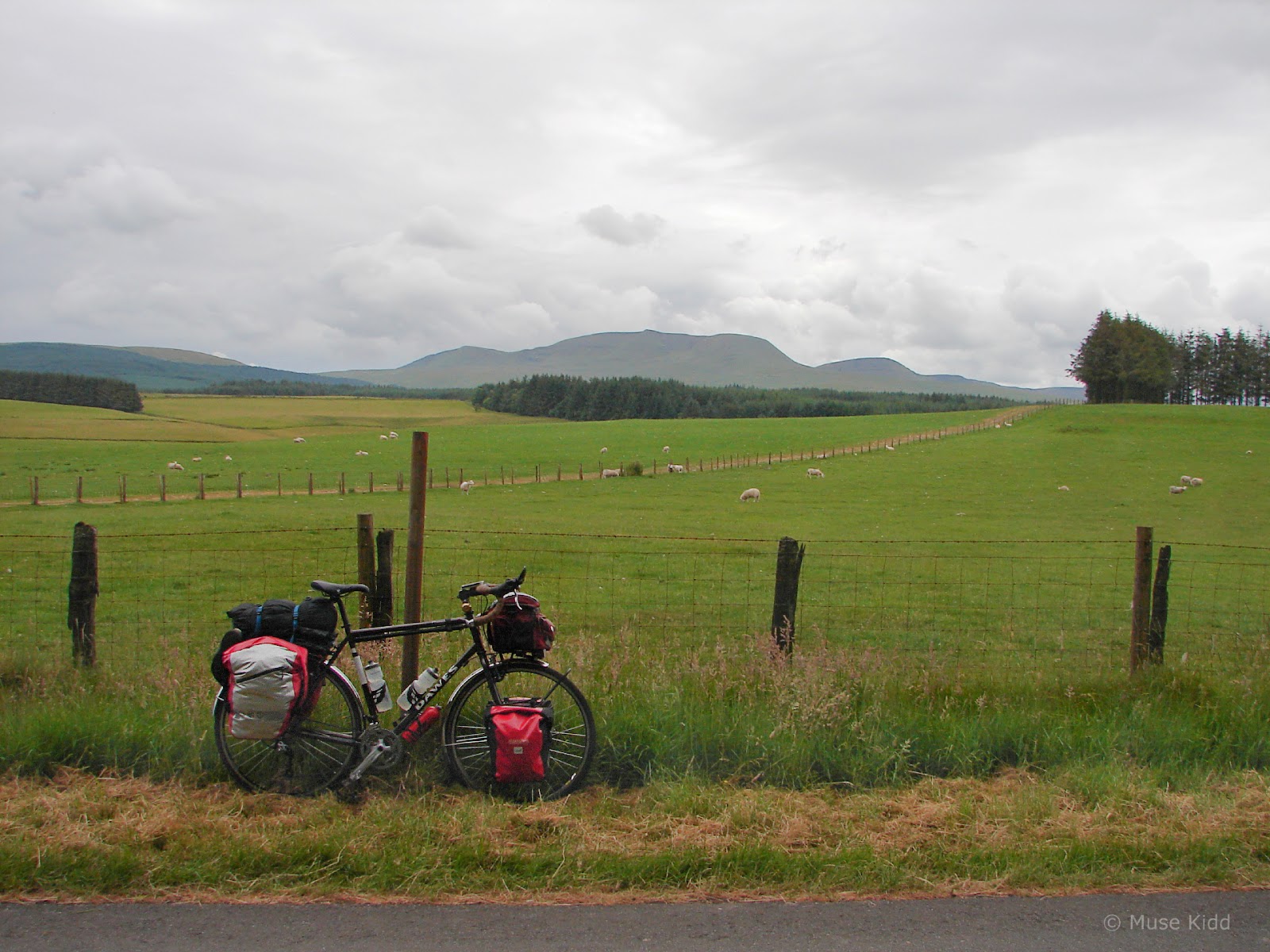
Many of the photos found online and used in promotional campaigns are often dramatic overhead shots or camara angles perched high on the mountain peaks and that's fine, Bannau Brycheiniog is a spectacular series of mountain ranges. But I'm on ground level. This what the views look like for most of us. As I slowly snake my way through the valleys, climbing the hills and gazing across at the surrounding mountainsides, I see a softer, more subtle landscape.

Many travelers avoid riding through villages, along small lanes, and past rural farms. But this is what I yearn for. Mountaintop views are lovely and dramatic, but I prefer the quiet intamcy found here at road level.


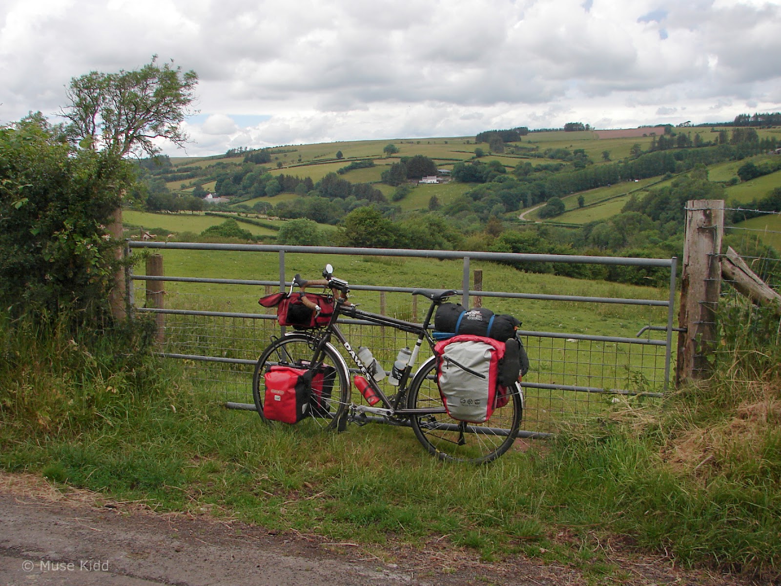
A simple fence for holding sheep, over-grown and unused, hidden by the roadside with the rolling hills of the Brecon Beacons at it's back. These are the views I seek.


A small bridge crossing over the Nant Brân River and the quiet gurgle of water.

I look for fish and spot a Kingfisher darting under the branches.


Zero traffic.

I don't need an over-head shot. I don't care what it looks like from a drone-camera. This is what I see at eye-level.


I simply wanted to take a photo... to capture the very moment.


It was around 10:30am. I had traveled roughly 13 miles in 2.5 hours. I was just over five miles west of Brecon on Cradoc Road and I hadn't seen more than five cars.

As I entered the sleepy community of Trallong, I spotted the little orange sticker for "Cycle Across the Brecons" on a sign post and felt reassured. Thanks Sustrans.


It was hard to imagine how wet and dreary the day had started. I had been quite worried about the weather, but the day turned out to be wonderful. And even though I still had ±30 miles yet to cycle, I felt utterly calm and relaxed. This is what cycle touring is all about.


I'm a big believer in paper maps because satellite connections are often weak or non-existant in these remote areas of Wales. Even signposts can be confusing; as they are sometimes knocked about when the hedges are mowed. The marker for Sennybridge broken-off from the post shown above, however the little orange sticker worked its magic wonderfully!


Then I was down the hill and across yet another small river. This is the Afon Cilieni and I found it to be a lovely spot for a late breakfast and a bit of exploration.


I was very fortunate to have nothing more to concern myself with than listening to the birds chirping about my invasion of their Eden.


The clouds passed slowly over the rolling valley and the hopeless romantic on his bicycle.

Then came another drop down another hill to cross the River Usk (again!) and if you look at my route map, you'll see that I've been following it loosely since I left Brecon.
Time for another wander.


Then up the hill on the opposite side and through the sleepy village of Sennybridge. I drifted down the High Street before realising I had missed my turn, so I made my way back to this juction, veered left and headed out of town.


And then the climbing began in earnest.


This first hill wasn't terribly steep, but it seemed to go on forever (looking ahead, image above, looking back, image below).

I would cycle a hundred feet, stop, rest, and repeat.


And just as I thought I was nearing the top, the road dipped and WHAMMO! I was faced with an even steeper and longer hill.

Partially up the hill and looking back (image above).

Looking ahead at what I hoped was the last part of the hill (image above). Of course I was pushing my bike at this point, but even that was exhausting.

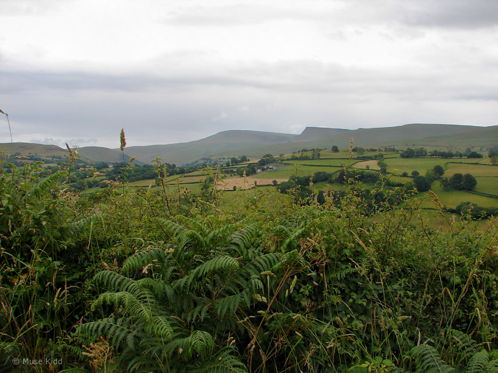
Once at the top, the views across the valley were lovely, but the clouds looked ominous.


And then I found this stunning farmhouse and barns. What stories lay hidden by time? What lives were lived? Mothers and fathers, families, children, laughter, and cries. Tears of joy and sadness. Where are the people that remember it all? What has happened to this little world?
I leaned my bike against a broken wall just to look.


But the road beckons and the hills call out my name, pulling me away, pulling me, pulling me.


And so I continue to climb... calling me...

and calling me... pulling me...

... Until I can nolonger see the hills rising above me and the road stretches out as I've not seen in a very long time.
I stop as a parade of vintage sports cars come roaring up the road, tooting their ole-timey horns, with arms raised, waving above the windscreens, smiling, calling out to me, holding their thumbs-up. It's humbling and it cheers me and I am smiling and waving back. It is a fantastic day.

And just like that, they are gone, disappearing around a curve, over the hill, and I am alone again on this high mountain ridge, looking around in awe and wondering if the rain will come.


Soon the fence posts and paddocks and the few remaining trees give way to a series of rolling hills across a wide open plateau and I think to myself that all the previous climbs were worth it... to see this vast expanse, alone and on my bicycle.


And so I pedalled on for nearly seven uninterrupted miles, not crossing another road, nor seeing another vehicle. Then quite suddenly, I dropped from the plateau into a narrow valley to find a four-way junction — seemingly in the middle of nowhere.

Can you spot the little orange sign pointing my way? Nor I. It's good that I've got my paper map! Also of note; I haven't had mobile phone service in hours!


Then just as suddenly, I was racing with the wind again, speeding downhill toward the community of Twynllanan (I hoped!)


It was nearly 5pm when I pulled up to the junction at Twynllanan. (Again, no orange signs!) I had been on the road for nine hours, traveled just over 30 miles and I still had another ±10 miles to reach my campsite at Trapp.

Fortunately, the remainder of the ride (with a couple of exceptions) was either flat or downhill because I was feeling pretty tired at this point.

But first... I had to look around a bit because I'm drawn to old abandoned buildings. The stonework in this wall caught my eye. It's a mashup of stone and bricks and patched together with such character. And the wooden door... what a masterpiece! What do you think this was used for?


I got rolling again, but I was going mighty slow. I didn't have't much energy for the few small hills and I found myself myself pushing the bike up inclines I would have climbed earlier in the day. I was tired, dog-tired, but I was getting close.


Looking back (image above) the Towy River valley lies to the left and far below. Whilst just ahead, a sign points the way to Trapp (image below). I could taste the feeling of relief. I was less than 5 miles from Trapp... almost there.


Then the skies began to clear as I made my way along a surprisingly lovely ridge. The roads were wet and glistening and I wondered; how did I miss the rain?


"Yeah! I'm talkin' to you!"

Seeing a trig point means one thing; I must be at the top (image below).

And then in the distance... my first sighting of Castell Carreg Cennen.

I stopped in the middle of the road and just looked (like I had so many times this day!), but this was different. I had chills.


Then I was down and around, and up to the campsite... and there it was again!

It was nearly seven o'clock when I finally arrived at the campsite. I was quite surprised to find Trapp Fishery completely empty. The site host was exceptionally friendly and welcoming and full of questions about my adventure, my bike and all my gear.
Naturally too, I had my pick of a location to set-up camp and the photo above was taken from just outside my tent.
Naturally too, I had my pick of a location to set-up camp and the photo above was taken from just outside my tent.
DAY TWO - SUMMARY:
Talybont-on-Usk to Trapp
My second day crossing Bannau Brycheiniog was epic. Perhaps, one of the most dramatic single-day rides I've ever experienced. (I spent over 11 hours traveling just 40 miles.) It was hard going at times; from heavy rain to pushing my bike up some incredibly steep hills, my endurance was surely tested. But the stunning scenery motivated me to continue pushing myself. And I'm so glad I did.
As it turns out, I had found another lovely little campsite. I unpacked my gear, set up my tent, and cooked myself a meal. I had traveled 41 miles and climbed nearly 3,500 feet. It had been an amazing day, but I was ready for bed.
I hope you enjoyed my report and thanks for reading!
Seeya down the road... Cheers! - cm
I hope you enjoyed my report and thanks for reading!
Seeya down the road... Cheers! - cm
Note: You may click below to continue reading about my adventure. ▼


